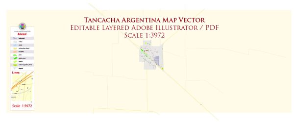
Tancacha is a town located in the Tercero Arriba Department of Córdoba Province, Argentina. It’s important to note that specific details about the history of urban development in Tancacha may not be readily available, and you may need to refer to local archives, historical documents, or consult with local authorities for the most up-to-date and accurate information.
General framework for understanding the typical historical development of towns in Argentina:
- Indigenous Inhabitants: Before European colonization, the region that is now Argentina was inhabited by indigenous peoples. The arrival of Spanish explorers and settlers in the 16th century marked the beginning of European influence.
- Colonial Period: During the colonial period, settlements were established for agricultural and strategic purposes. The layout of towns often followed a grid pattern, with a central plaza and important public buildings such as churches and government offices.
- 19th Century Independence: Argentina gained independence from Spanish rule in 1816. In the 19th century, the country experienced significant political and social changes. The population grew, and many towns and cities expanded as a result of increased economic activity, immigration, and infrastructure development.
- Railway Expansion: In the late 19th and early 20th centuries, the expansion of the railway system played a crucial role in the development of many towns. The railway facilitated the transportation of goods and people, contributing to economic growth and urbanization.
- Modernization and Industrialization: The 20th century brought further urbanization and industrialization. Towns like Tancacha likely saw increased economic activities, the growth of local industries, and the establishment of new services and amenities.
- Contemporary Development: In recent decades, towns across Argentina have continued to evolve, adapting to changing economic, social, and environmental factors. Urban planning, infrastructure projects, and community development initiatives play important roles in shaping the modern landscape.
To get detailed information about the history of Tancacha’s urban development, consider consulting local historical records, municipal archives, or reaching out to local historical societies. Additionally, town museums or local historians may provide valuable insights into the specific history of Tancacha.


 Author: Kirill Shrayber, Ph.D.