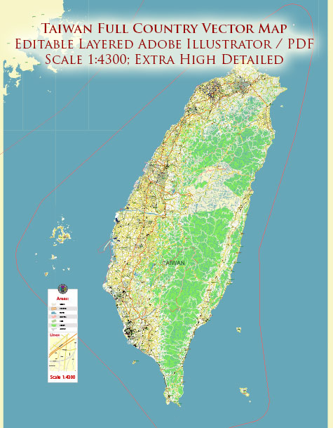
Taiwan’s history of urban development has undergone significant transformations over the years, shaped by a combination of historical, cultural, political, and economic factors. Here is a broad overview of key periods in Taiwan’s urban development:
- Indigenous Settlements:
- Prior to significant external influence, Taiwan was inhabited by indigenous peoples with distinct cultures and lifestyles.
- Indigenous communities engaged in agriculture, fishing, and hunting, and their settlements were scattered across the island.
- Dutch and Spanish Colonial Periods (17th century):
- The Dutch and Spanish established settlements in Taiwan during the 17th century, primarily in the southwestern part of the island.
- Their influence was limited, and their impact on urban development was relatively minor.
- Qing Dynasty Rule (17th–19th centuries):
- Taiwan came under Qing Dynasty rule in the 17th century.
- The Qing government established administrative centers and garrisons, influencing the development of certain urban areas.
- Japanese Colonial Period (1895–1945):
- Following the First Sino-Japanese War, Taiwan was ceded to Japan in 1895.
- The Japanese colonial administration implemented modern urban planning and infrastructure projects, particularly in major cities like Taipei.
- During this period, Taiwan’s urban landscape began to reflect Western architectural and planning influences.
- Post-World War II and Kuomintang (KMT) Rule (1945–1990s):
- After World War II, Taiwan was placed under the administrative control of the Republic of China (KMT).
- The KMT government initiated rapid industrialization and economic development, leading to a significant influx of rural-to-urban migration.
- Urban centers expanded, and new industrial zones were established.
- Economic Boom and Urbanization (1960s–1980s):
- Taiwan experienced rapid economic growth during the 1960s and 1970s, transitioning from an agrarian to an industrialized economy.
- Major cities like Taipei, Kaohsiung, and Taichung saw extensive urbanization and infrastructure development.
- The development of export-oriented industries contributed to the growth of urban areas.
- Democratization and Contemporary Urban Development (1990s–Present):
- The democratization of Taiwan in the late 20th century led to political and social changes.
- Urban planning shifted towards a more inclusive and sustainable approach, emphasizing environmental considerations, public participation, and cultural preservation.
- Taipei, the capital, became a hub of technology and finance, and other cities continued to develop their infrastructure.
- Technology and Innovation Centers (21st century):
- In recent years, Taiwan has positioned itself as a technology and innovation hub, with cities like Taipei and Hsinchu playing a crucial role in the development of the tech industry.
- Urban planning increasingly focuses on creating smart cities and sustainable environments.
Throughout these phases, Taiwan’s urban development has been influenced by global trends, cultural dynamics, and the island’s unique geopolitical situation. Today, Taiwan’s cities are dynamic, modern, and diverse, reflecting a blend of traditional and contemporary influences.


 Author: Kirill Shrayber, Ph.D.