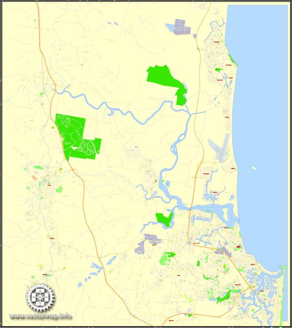
The Sunshine Coast, located in the southeastern corner of the Australian state of Queensland, has a rich history of urban development that spans Indigenous occupation, European exploration, and modern urban planning. Here is a brief overview of the history of urban development on the Sunshine Coast:
- Indigenous Occupation: Before European settlement, the Sunshine Coast region was home to the Kabi Kabi (Gubbi Gubbi) and Jinibara Aboriginal people. They lived in harmony with the natural environment, relying on hunting, fishing, and gathering for sustenance. The landscape was characterized by dense subtropical rainforests, coastal plains, and river valleys.
- European Exploration and Settlement: European exploration of the Sunshine Coast began in the 17th century, with Captain James Cook mapping the east coast of Australia in the late 18th century. However, it wasn’t until the mid-19th century that European settlers, primarily farmers and timber-getters, began to establish a more permanent presence in the region. The discovery of gold in the Gympie region in the 1860s contributed to an influx of people and economic activity in the area.
- Agriculture and Industry: In the late 19th and early 20th centuries, agriculture, particularly sugarcane farming, became a significant industry on the Sunshine Coast. The coastal landscape was dotted with small townships that supported the agricultural and timber industries. With the advent of the railway in the early 20th century, transportation became more efficient, facilitating the export of agricultural products.
- Tourism Development: The post-World War II period saw a shift in the Sunshine Coast’s economic focus towards tourism. The region’s natural beauty, including its stunning beaches, lush hinterland, and the Great Barrier Reef in close proximity, attracted visitors. As a result, towns like Maroochydore, Mooloolaba, and Noosa began to develop as popular tourist destinations.
- Suburban Growth: From the 1970s onward, the Sunshine Coast experienced significant population growth, leading to the expansion of existing towns and the development of new suburbs. The region’s proximity to Brisbane, the capital of Queensland, and its appealing lifestyle contributed to its popularity as a residential destination. Infrastructure development, including highways and amenities, accompanied this population growth.
- Environmental Conservation: In recent decades, there has been a growing emphasis on environmental conservation and sustainable development on the Sunshine Coast. Efforts have been made to preserve the region’s natural beauty and biodiversity while accommodating the needs of a growing population.
- Modern Urban Planning: Today, the Sunshine Coast continues to evolve with modern urban planning initiatives. The local government focuses on sustainable development, infrastructure improvements, and enhancing the region’s cultural and recreational amenities.
Overall, the history of urban development on the Sunshine Coast reflects a transition from early European settlement and industry to a modern, diverse economy with a strong emphasis on tourism, lifestyle, and environmental sustainability.


 Author: Kirill Shrayber, Ph.D. FRGS