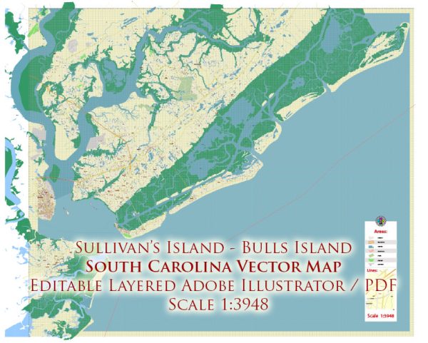
Sullivans, Dewees, Palm, and Bulls—are located along the coast of South Carolina, near Charleston. Each of these islands has its own unique history and development, contributing to the broader historical narrative of the region. Keep in mind that more recent developments may not be covered in my response.
- Sullivans Island:
- Colonial Era: Sullivans Island has a rich history dating back to colonial times. It was originally named O’Sullivan’s Island after Captain Florence O’Sullivan, who was stationed there in the late 17th century.
- Revolutionary War: During the American Revolution, the island played a strategic role in the defense of Charleston. Fort Moultrie, located on Sullivans Island, gained prominence for its role in the successful defense against British forces in 1776.
- Civil War: Fort Moultrie continued to be significant during the Civil War. The first shots of the Civil War were fired near the island at Fort Sumter.
- Dewees Island:
- Isolation and Preservation: Dewees Island has a more recent history of development compared to Sullivans. Historically, it was largely uninhabited and utilized for hunting and fishing.
- Modern Development: In the latter half of the 20th century, Dewees Island saw increased interest for residential development. However, efforts have been made to balance development with environmental preservation, and the island has maintained a focus on sustainability and conservation.
- Palm Island:
- Location and Access: Palm Island’s history is often intertwined with its geographical location. Accessible only by boat, Palm Island has retained a sense of seclusion and natural beauty.
- Residential Development: Over time, Palm Island has witnessed residential development, with homes often designed to complement the island’s natural landscape. The development has likely been influenced by zoning regulations to preserve the island’s unique character.
- Bulls Island:
- Wildlife Refuge: Bulls Island is known for the Bulls Island Coastal Reserve, which is part of the Cape Romain National Wildlife Refuge. This has shaped the island’s development by prioritizing the preservation of its diverse ecosystems.
- Limited Development: Bulls Island has seen limited human development, with a focus on maintaining its natural habitats and supporting wildlife conservation efforts.
General Themes:
- Environmental Conservation: Many of these islands emphasize environmental conservation and sustainable development due to their unique ecosystems and habitats.
- Historical Significance: The historical significance of these islands, whether in military events or cultural heritage, contributes to their character and sometimes influences development plans.


 Author: Kirill Shrayber, Ph.D.