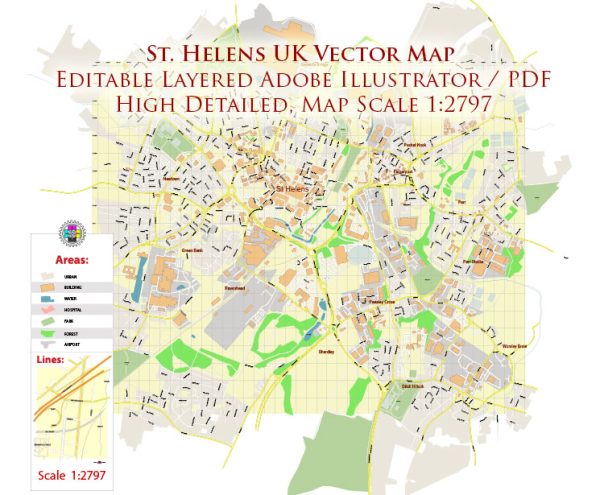
St Helens is a town in the metropolitan county of Merseyside, in the northwest of England, United Kingdom. The area has a rich history, and its urban development has been shaped by various factors, including industrialization, coal mining, and economic changes.
- Industrial Revolution:
- St Helens played a significant role in the Industrial Revolution, particularly during the 18th and 19th centuries. The town’s proximity to coal mines and its location along transportation routes, including the Sankey Canal, contributed to its growth as an industrial center.
- Coal Mining:
- The abundant coal reserves in the region fueled the growth of coal mining activities. St Helens became known for its coal pits, and the extraction of coal played a pivotal role in the local economy. The mining industry led to the development of collieries and associated infrastructure.
- Glass Industry:
- In addition to coal mining, St Helens became a major center for the glass industry. The abundant local supply of sand and the availability of coal for fuel made it an ideal location for glass manufacturing. The glass industry in St Helens became renowned for its innovation and production of high-quality glass.
- Urban Expansion:
- The industrialization and economic prosperity led to the expansion of the urban area. Housing for the growing population and industrial workers was developed, and the town saw the construction of various amenities and services to support the community.
- Transportation:
- The improvement of transportation infrastructure, including railways and canals, further facilitated the growth of St Helens. These transport links not only supported the transportation of goods and raw materials but also enhanced connectivity with other industrial centers in the region.
- Economic Changes:
- As the 20th century progressed, St Helens, like many industrial towns, experienced economic changes. Declines in traditional industries, such as coal mining and glass manufacturing, had an impact on the local economy. However, efforts were made to diversify and adapt to new economic realities.
- Regeneration and Redevelopment:
- In more recent times, there have been efforts to regenerate and redevelop certain areas of St Helens. Former industrial sites have been repurposed, and the town has sought to attract new businesses and investments to drive economic growth.
- Cultural and Recreational Developments:
- St Helens has also invested in cultural and recreational developments. The town has cultural venues, parks, and other facilities that contribute to the quality of life for residents.
In summary, St Helens has a history deeply rooted in industrialization, particularly in coal mining and glass manufacturing. The town’s urban development has been shaped by its industrial past, and it has undergone changes in response to economic shifts and the need for regeneration in more recent times.


 Author: Kirill Shrayber, Ph.D. FRGS