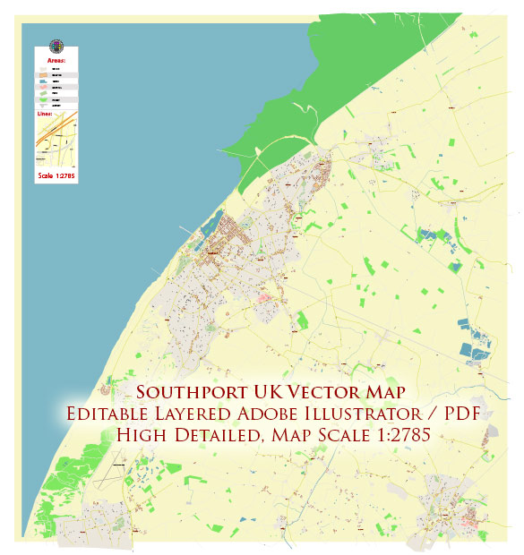
Southport is a seaside town in Merseyside, England, with a rich history of urban development.
Early History:
- 19th Century Growth: Southport began to grow as a popular seaside resort during the 19th century. The town’s coastal location and the introduction of railways contributed to its development as a destination for tourists and day-trippers.
- Victorian Architecture: The Victorian era left a significant mark on Southport’s architecture. Many buildings from this period showcase the grandeur and elegance associated with Victorian design.
Key Features:
- Lord Street: One of the town’s most famous features is Lord Street, a tree-lined shopping street often compared to the Champs-Élysées in Paris. Lord Street developed as a boulevard during the 19th century and is known for its wide sidewalks, shops, and Victorian canopies.
- Pleasureland: Pleasureland, a traditional amusement park, has been a part of Southport’s entertainment scene for many years. It has evolved over time but continues to be a popular attraction.
Economic Factors:
- Tourism: Southport’s economy has long been tied to tourism. The town attracted visitors seeking leisure and relaxation by the sea, particularly during the summer months.
- Marine Lake: The creation of the Marine Lake, an artificial lake along the seafront, provided additional recreational opportunities, including boating and water sports.
Modern Developments:
- Regeneration Projects: Like many towns, Southport has likely undergone various regeneration projects to enhance infrastructure and attract investment. These may include improvements to public spaces, transportation, and the waterfront.
- Cultural and Arts Scene: Southport may have developed a cultural and arts scene, with events, festivals, and possibly the establishment of cultural institutions.
Challenges:
- Economic Changes: With changes in travel patterns and economic shifts, Southport may have faced challenges in maintaining its traditional tourism-based economy.
- Urban Planning: Balancing the preservation of historical charm with modern urban planning needs and demands is an ongoing challenge for many historic towns.
For the latest and most accurate information, it’s recommended to consult local historical archives, town planning documents, and news sources.


 Author: Kirill Shrayber, Ph.D. FRGS