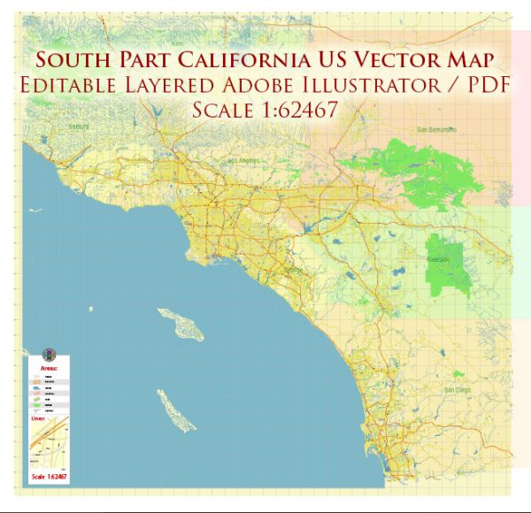
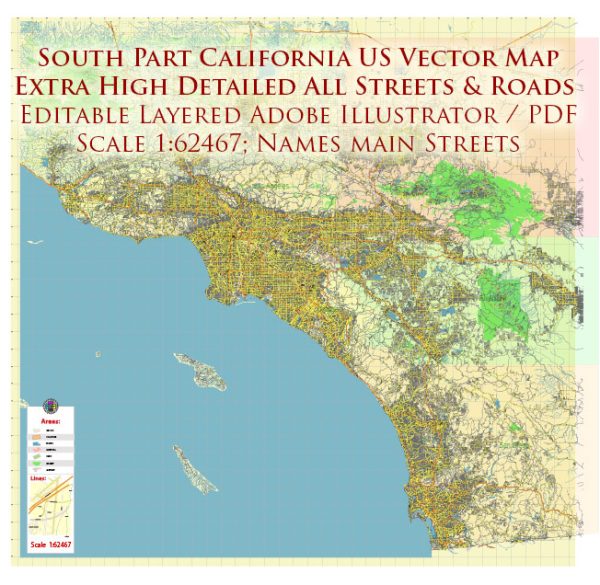
The history of urban development in Southern California is a dynamic and multifaceted narrative that spans several centuries. The region’s growth and transformation have been shaped by a combination of geographic, economic, social, and cultural factors. Here is an overview of key periods and themes in the urban development of Southern California:
- Indigenous Peoples:
- Prior to European colonization, the Southern California region was inhabited by various Indigenous peoples, including the Tongva, Chumash, and others.
- Indigenous communities were organized in villages, and their way of life was intimately connected to the region’s diverse ecosystems.
- Spanish Colonial Era:
- In the late 18th century, Spanish explorers and settlers, led by figures like Gaspar de Portolá and Junípero Serra, established missions and presidios in California.
- These missions, such as San Gabriel and San Juan Capistrano, played a crucial role in shaping the early patterns of settlement.
- Mexican Period:
- Following Mexican independence from Spain in 1821, California became part of Mexico.
- Land grants were distributed to Mexican rancheros, shaping the early land-use patterns.
- American Period and Gold Rush:
- The Treaty of Guadalupe Hidalgo in 1848 ceded California to the United States after the Mexican-American War.
- The discovery of gold in Northern California in 1848 triggered a massive influx of settlers, leading to increased demand for goods and services.
- Railroad Expansion:
- The completion of the First Transcontinental Railroad in 1869 facilitated transportation and contributed to the growth of Southern California.
- Rail lines connected the region to the east, making it more accessible for settlers.
- Agricultural Boom:
- The late 19th and early 20th centuries saw a surge in agricultural development, with the citrus industry becoming particularly prominent.
- Irrigation projects, such as the Los Angeles Aqueduct, brought water to the region, enabling agricultural expansion.
- Oil Boom:
- In the early 20th century, the discovery of oil in places like Signal Hill and Long Beach spurred an economic boom and attracted new industries.
- Post-World War II Suburbanization:
- The post-World War II era witnessed significant population growth and suburbanization, fueled by factors like the GI Bill, increased automobile ownership, and a growing aerospace industry.
- The development of suburban communities and the expansion of the freeway system reshaped the urban landscape.
- Cultural and Technological Hub:
- Southern California became a cultural and technological hub in the mid-20th century, with the entertainment industry (Hollywood), aerospace sector, and technological innovation (Silicon Beach) playing key roles.
- Challenges and Urban Planning:
- Rapid population growth brought about challenges such as traffic congestion, air pollution, and water scarcity.
- Urban planning efforts sought to address these issues, with initiatives focusing on public transportation, environmental conservation, and sustainable development.
- Diversity and Globalization:
- Southern California’s population became increasingly diverse, reflecting a mix of ethnicities, cultures, and languages.
- Globalization further influenced the region’s economy, culture, and urban development.
- Contemporary Issues:
- The region continues to grapple with issues such as housing affordability, transportation infrastructure, and environmental sustainability.
- Efforts to promote smart growth, mixed-use development, and public transit aim to shape the future of Southern California’s urban landscape.
The history of urban development in Southern California is marked by a complex interplay of historical events, economic trends, and social dynamics, contributing to the diverse and dynamic urban environment seen today.


 Author: Kirill Shrayber, Ph.D. FRGS