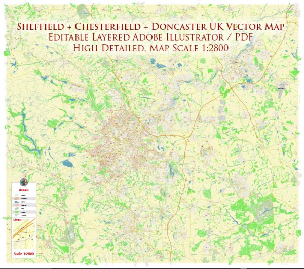
The history of urban development in the Sheffield area in the UK is marked by significant changes and transformations over the centuries. Here is a brief overview:
- Early History:
- Sheffield’s history dates back to the Roman and Anglo-Saxon periods, but it remained a small settlement until the Industrial Revolution.
- The area was known for its abundant natural resources, including waterways and forests, which contributed to its early growth.
- Industrial Revolution:
- The 18th century saw the rapid expansion of Sheffield as an industrial hub. The city became a center for the production of steel, cutlery, and tools.
- Factories and mills were established along the rivers, harnessing water power for manufacturing processes.
- The population grew as people migrated to the city for work in the burgeoning industries.
- 19th Century:
- The 19th century brought further industrialization and urbanization. Sheffield’s steel industry continued to thrive, and the city expanded both in terms of population and infrastructure.
- The construction of railways facilitated the transportation of goods and contributed to economic growth.
- 20th Century:
- In the early 20th century, Sheffield faced economic challenges as traditional industries declined.
- The city underwent post-war reconstruction, with new housing developments and infrastructure projects.
- The decline of heavy industry continued, leading to a shift towards service industries and the redevelopment of former industrial sites.
- Post-Industrial Era:
- In recent decades, Sheffield has undergone significant regeneration efforts. Former industrial areas have been transformed into commercial, residential, and cultural spaces.
- The city has invested in modern architecture and sustainable urban development.
- Cultural initiatives, such as the Millennium Galleries and the Winter Garden, have contributed to Sheffield’s revitalization.
- Modern Urban Development:
- Sheffield has embraced sustainable urban planning and green initiatives, aiming to create a balance between urban development and environmental conservation.
- The city center has seen modernization with shopping districts, entertainment venues, and residential complexes.
- The establishment of educational institutions, including the University of Sheffield, has contributed to the city’s cultural and intellectual vibrancy.
- Challenges and Opportunities:
- Like many cities, Sheffield faces challenges such as traffic congestion, housing issues, and socioeconomic disparities.
- Ongoing urban development projects, infrastructure improvements, and community engagement aim to address these challenges and create a more inclusive and sustainable urban environment.
The history of Sheffield’s urban development reflects its evolution from a small industrial settlement to a dynamic and diversified urban center with a focus on sustainability and cultural vibrancy.


 Author: Kirill Shrayber, Ph.D. FRGS