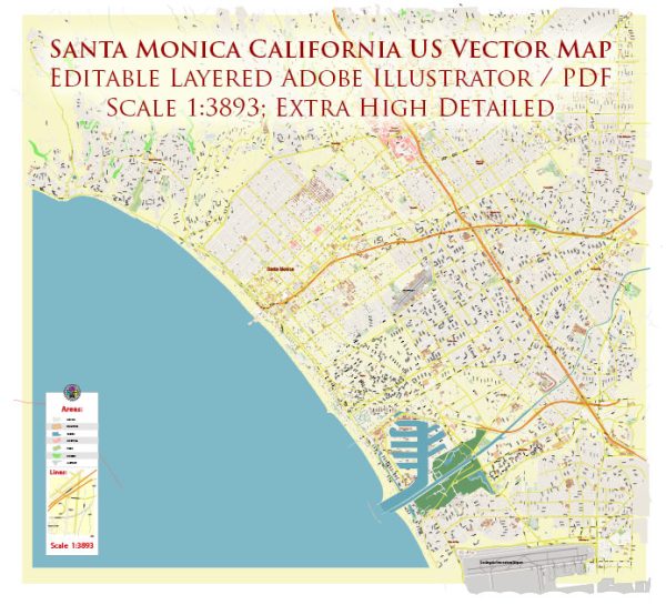
Santa Monica, located in Los Angeles County, California, has a rich history of urban development that spans from its early days as a seaside retreat to its present status as a vibrant, diverse city. Here is an overview of the key stages in the urban development of Santa Monica:
- Early Settlement and Development (Late 19th Century):
- The history of Santa Monica dates back to the late 19th century when it was established as a seaside resort town. The completion of the Southern Pacific Railroad in 1875 played a crucial role in the area’s accessibility, leading to increased settlement.
- The completion of the Los Angeles and Independence Railroad in 1877 further facilitated transportation to and from Santa Monica, contributing to its growth.
- The Rise of the Pier and Amusement Parks (Early 20th Century):
- In 1909, the Santa Monica Municipal Pier was constructed, becoming a focal point for entertainment and recreation. The famous Santa Monica Pier Carousel, built in 1922, is still operational today.
- During the early 20th century, the city saw the development of amusement parks, including the Ocean Park Pier and the Pleasure Pier, contributing to the region’s popularity as a destination for entertainment.
- Incorporation and Civic Growth (Early to Mid-20th Century):
- Santa Monica was officially incorporated as a city in 1886. During the early to mid-20th century, the city experienced significant civic growth and the establishment of public services, schools, and infrastructure.
- The 1920s and 1930s saw the construction of notable buildings such as the Georgian Hotel (1933) and the Santa Monica City Hall (1938), reflecting architectural styles of the time.
- Post-World War II Development and Suburbanization:
- Like many American cities, Santa Monica experienced a post-World War II population boom. The demand for housing led to suburbanization, and new residential neighborhoods were developed.
- The completion of the Santa Monica Freeway (Interstate 10) in the 1960s enhanced the city’s accessibility and contributed to further growth.
- Challenges and Redevelopment (Late 20th Century):
- The latter half of the 20th century saw challenges, including social and economic issues, but the city also became known for its commitment to sustainability and environmentalism.
- The development of the Third Street Promenade, a pedestrian-friendly shopping and entertainment district, in the late 1980s and the revitalization of the Santa Monica Place mall in the 2000s were crucial steps in the city’s redevelopment efforts.
- Modern Cityscape and Sustainability Efforts:
- Today, Santa Monica is characterized by a mix of residential, commercial, and recreational spaces. The city has been at the forefront of sustainability initiatives, with a focus on alternative transportation, green building practices, and environmental preservation.
Santa Monica’s urban development reflects a blend of historical preservation and contemporary innovation, making it a unique and dynamic part of the Los Angeles metropolitan area.


 Author: Kirill Shrayber, Ph.D. FRGS