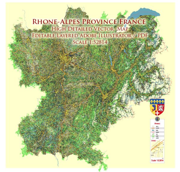
The Rhône-Alpes region in France, now part of the larger Auvergne-Rhône-Alpes region after administrative reorganization, has a rich history of urban development that spans several centuries. The region is characterized by a diverse landscape, including the Alps, the Rhône River, and various lakes. Here is a brief overview of the history of urban development in the Rhône-Alpes region:
- Roman Influence: The Romans had a significant impact on the region during the Roman Empire. Lyon (Lugdunum) was established as a major Roman city and became a crucial hub for trade and commerce. The well-preserved Roman Theater and Odeon in Lyon are testament to this era.
- Medieval Period: In the medieval period, many towns and cities in the Rhône-Alpes region developed around castles, abbeys, and trade routes. Annecy, for example, is known for its medieval architecture and was strategically located on the shores of Lake Annecy.
- Renaissance and Silk Industry: Lyon, in particular, flourished during the Renaissance as a center for the silk industry. The traboules, hidden passageways through buildings, were created to facilitate the transport of silk without exposure to the weather. The Vieux Lyon (Old Lyon) area is a UNESCO World Heritage site and reflects the city’s historical prosperity.
- Industrial Revolution: The 19th century brought industrialization to the region. Cities like Saint-Étienne became known for their coal and weapons industries, while Grenoble developed as a center for hydroelectricity and later for the emerging electronics industry.
- Modernization and Infrastructure: In the 20th century, urban development in the Rhône-Alpes region continued with a focus on modernization and infrastructure. Lyon, in particular, expanded its transportation networks, and the cityscape evolved with contemporary architecture.
- Post-World War II: After World War II, there was a period of reconstruction and expansion. Lyon, Grenoble, and other cities saw the development of new neighborhoods and suburbs. The region’s economy diversified, and the service sector gained prominence.
- Contemporary Developments: In recent decades, there has been a focus on sustainable urban development, with efforts to preserve historical heritage while incorporating modern elements. Grenoble, for example, has gained recognition for its commitment to environmental sustainability.
- Cultural and Educational Hubs: Cities like Lyon have also developed as cultural and educational hubs. The presence of universities, museums, and cultural institutions has contributed to the vibrancy of these urban centers.
The history of urban development in the Rhône-Alpes region is marked by a blend of historical heritage and modern progress. Each city and town in the region has its own unique story, shaped by its geographical features, economic activities, and cultural influences over the centuries.


 Author: Kirill Shrayber, Ph.D. FRGS