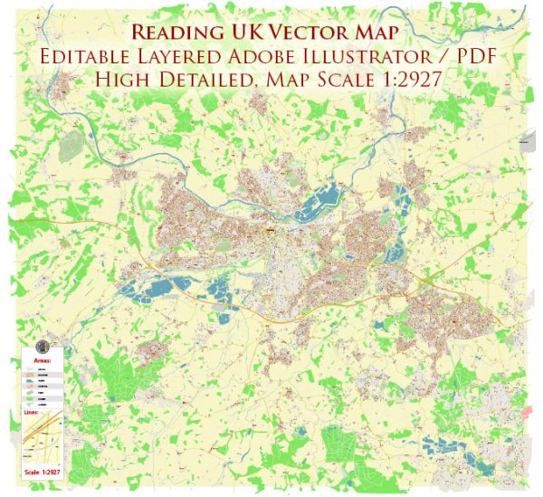
The history of urban development in Reading, UK, is marked by a fascinating evolution from its early origins to its current status as a vibrant and dynamic town. Reading’s history is deeply intertwined with its geographical location along the River Thames, making it a strategic point for trade and transportation.
- Early Settlements: The area now known as Reading has a history dating back to Roman times when it was an important crossing point on the River Thames. The town’s name is believed to originate from the Old English word “Reada-ingas,” meaning “the people of Reada.” Archaeological evidence suggests that there were early settlements and a Roman town in the vicinity.
- Medieval Period: Reading Abbey, founded by King Henry I in 1121, played a crucial role in shaping the town’s development during the medieval period. The abbey became a center of religious, cultural, and economic activity. The town’s strategic location along the river continued to contribute to its growth and importance.
- Trade and Industry: By the medieval and Tudor periods, Reading had become a market town with a thriving trade in wool and cloth. The river facilitated the transportation of goods, contributing to the town’s economic prosperity. The presence of the abbey and later Tudor monarchs’ visits added to Reading’s significance.
- Civil War and Industrialization: The English Civil War in the 17th century had a significant impact on Reading, as it saw the town change hands between Royalists and Parliamentarians. The subsequent years witnessed a gradual shift from an agrarian economy to industrialization, with the development of mills and factories.
- Transportation: The 19th century brought significant changes with the arrival of the railway in 1840. This further boosted Reading’s economic growth, connecting it to London and other major cities. The railway also led to the expansion of the town as people were drawn to its industrial opportunities.
- 20th Century: In the 20th century, Reading continued to evolve as a commercial and economic hub. It played a role in the tech industry, hosting the headquarters of companies like Microsoft and Oracle. The post-war period saw suburbanization and the development of housing estates to accommodate the growing population.
- Contemporary Development: Reading has transformed into a major business and retail center, with the Oracle shopping center and the Madejski Stadium being notable landmarks. The town’s identity is shaped by a mix of historical architecture and modern development. The University of Reading also contributes to the town’s cultural and educational vibrancy.
- Cultural and Community Development: Reading has a rich cultural scene, with various festivals, events, and a thriving arts community. The town has embraced its historical heritage while adapting to the demands of contemporary urban living.
Understanding Reading’s history of urban development provides insight into the town’s resilience, adaptability, and its ability to balance historical preservation with modern progress. The River Thames, which played a pivotal role in its early history, continues to be a defining feature, contributing to the town’s charm and character.


 Author: Kirill Shrayber, Ph.D. FRGS