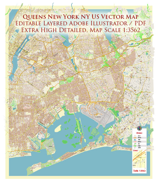
Queens, one of the five boroughs of New York City, has a rich history of urban development that reflects the broader evolution of the city itself. Here is a brief overview of the history of urban development in Queens:
- Early Settlement and Agriculture (17th Century – 19th Century): Originally inhabited by the Native American Lenape people, Queens was settled by the Dutch in the 17th century. It became part of the English colony of New York in 1664. During the 19th century, Queens was primarily rural, with farms, villages, and estates dotting the landscape. The Long Island Rail Road, completed in the mid-19th century, facilitated transportation and began to connect Queens with Manhattan.
- Industrialization and Immigration (Late 19th Century – Early 20th Century): The late 19th century saw the beginnings of industrialization in Queens. Factories, warehouses, and transportation infrastructure expanded, attracting a diverse immigrant population. Waves of newcomers, including Irish, German, Italian, Jewish, and later, Asian communities, contributed to the borough’s cultural and economic development.
- Suburbanization and Residential Growth (Early to Mid-20th Century): In the early to mid-20th century, Queens experienced significant suburbanization. The construction of bridges such as the Queensboro Bridge (1909) and the Triborough Bridge (1936) improved accessibility, making it more feasible for people to live in Queens while working in Manhattan. Residential neighborhoods, such as Jackson Heights and Forest Hills, developed with a mix of housing types, reflecting the architectural styles of the time.
- Post-World War II Boom (Mid-20th Century): After World War II, Queens experienced a population boom, partly due to returning veterans and the baby boom. The demand for housing led to the construction of large residential developments and the expansion of suburban neighborhoods. The development of Levittown, one of the first mass-produced suburban housing developments in the U.S., had a significant impact on the housing landscape of Queens.
- Diversity and Urban Renewal (Mid-20th Century – 21st Century): Queens continued to diversify ethnically and culturally throughout the latter half of the 20th century. The borough became home to people from all over the world. In the 1960s and 1970s, urban renewal projects, including the development of Flushing Meadows-Corona Park for the 1964 World’s Fair, aimed to modernize and revitalize certain areas.
- Contemporary Development (Late 20th Century – 21st Century): In recent decades, Queens has seen ongoing development, with the construction of new residential, commercial, and cultural spaces. The revitalization of waterfront areas, such as Long Island City, and the ongoing improvement of transportation infrastructure, including the extension of the subway system, have contributed to the borough’s continued evolution.
Queens, with its diverse communities, historical landmarks, and ongoing development projects, remains an integral part of New York City’s urban fabric. The borough’s history reflects the broader trends in urban development, from its rural beginnings to its present status as a vibrant and culturally rich urban environment.


 Author: Kirill Shrayber, Ph.D. FRGS