Quebec City, located in the province of Quebec, Canada, is one of the oldest cities in North America with a rich history of urban development. Here is an overview of the history of urban development in Quebec City:
- Early Settlement (1608-18th Century):
- Quebec City was founded by Samuel de Champlain in 1608, making it one of the oldest European settlements in North America.
- The city’s layout was influenced by military considerations, with a fortification system designed to defend against potential attacks.
- Fortifications and Old Quebec:
- The city’s most iconic feature is its well-preserved fortifications, which include the famous city walls. These were built between the 17th and 18th centuries to protect the city from invasions.
- Old Quebec, a UNESCO World Heritage site, reflects the European influence on its architecture and urban planning, with narrow cobblestone streets and historic buildings.
- French and British Influence:
- Quebec City has a unique blend of French and British architectural styles due to its history of being a French colony before becoming a British possession in 1763.
- The British made additions to the fortifications, and this blend of architectural styles is evident in the city’s buildings.
- 19th Century Industrialization:
- The 19th century saw industrialization and economic growth in Quebec City, leading to the expansion of the city beyond its original walls.
- New neighborhoods developed as the city adapted to the changing economic landscape.
- Expansion and Modernization (20th Century):
- In the 20th century, Quebec City continued to grow and modernize.
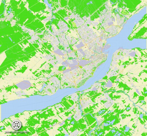
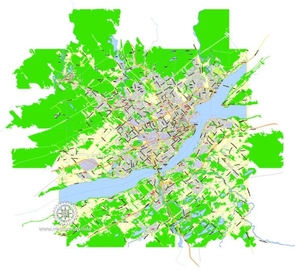
- The development of transportation infrastructure, including roads and bridges, facilitated the city’s expansion.
- Urban Renewal and Preservation Efforts:
- In the mid-20th century, like many historic cities, Quebec City faced challenges related to urban decay and the push for modernization.
- Efforts were made to preserve the historic character of Old Quebec, and urban renewal projects sought to balance modern development with the conservation of heritage sites.
- Contemporary Development:
- In recent decades, Quebec City has continued to evolve, with a focus on sustainable development and preserving its cultural heritage.
- The city has embraced tourism, and its historic sites, vibrant festivals, and cultural events contribute to its appeal.
- UNESCO World Heritage Designation:
- In 1985, UNESCO designated Old Quebec as a World Heritage site, recognizing its outstanding cultural value and the preservation of its historical character.
Overall, Quebec City’s history of urban development is a fascinating journey that reflects the interplay of French and British influences, the challenges of modernization, and the city’s commitment to preserving its unique cultural and architectural heritage.

 Author: Kirill Shrayber, Ph.D. FRGS