The urban development of Portland, Oregon, has a rich history shaped by various factors, including geography, economics, transportation, and cultural influences. Here is an overview of key aspects of Portland’s urban development:
- Early Settlement and Industry (19th Century):
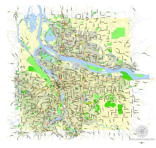
- Portland was founded in 1845 and incorporated in 1849. Its location at the confluence of the Willamette and Columbia Rivers made it a strategic trade and transportation hub.
- The city’s early growth was driven by industries such as timber, fishing, and shipping. The Oregon Trail also contributed to an influx of settlers.
- Railroads and Economic Expansion (Late 19th Century):
- The arrival of the transcontinental railroad in the late 19th century further boosted Portland’s economic development by facilitating the transportation of goods to and from the city.
- The development of railroads connected Portland to other major cities, enhancing its role as a regional trade center.
- City Planning and Infrastructure (Early 20th Century):
- In the early 20th century, city planners began implementing initiatives to manage growth and improve infrastructure. The Olmsted Brothers, a renowned landscape architecture firm, contributed to the design of parks and boulevards in the city.
- The construction of the Burnside Bridge in 1926 and the St. Johns Bridge in 1931 improved connectivity between different parts of the city.
- Post-World War II Suburbanization:
- Like many American cities, Portland experienced significant suburbanization in the post-World War II era. The availability of automobiles and the construction of highways contributed to the growth of suburban communities.
- This period also saw the rise of shopping malls and the decentralization of economic activity.
- 1970s Urban Renewal and Revitalization:
- In the 1970s, Portland, like many cities, faced urban decay and disinvestment. However, city leaders initiated urban renewal projects to revitalize downtown areas.
- The establishment of the Portland Development Commission (PDC) played a key role in redeveloping areas like the Pearl District.
- Smart Growth and Sustainability (Late 20th Century – Present):
- In recent decades, Portland has gained a reputation for its commitment to sustainable and smart growth practices. The city’s urban growth boundary, established in the 1970s, has aimed to contain sprawl and encourage development within existing urban areas.
- Public transportation, including the MAX Light Rail system, has been expanded to address traffic congestion and promote a more sustainable urban environment.
- Cultural and Neighborhood Diversity:
- Portland is known for its diverse and distinct neighborhoods, each with its own character and cultural identity. Areas like Hawthorne, Alberta Arts District, and Mississippi Avenue have experienced revitalization and gentrification.
- Tech and Creative Industries:
- In recent years, Portland has become a hub for tech and creative industries, attracting a young and educated population. The city’s reputation for a high quality of life and emphasis on sustainability has contributed to its appeal.
Portland’s urban development is an ongoing process influenced by a balance of economic, social, and environmental considerations. The city continues to evolve, with a focus on maintaining its unique character while adapting to the challenges and opportunities of the 21st century.

 Author: Kirill Shrayber, Ph.D. FRGS