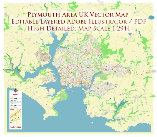
The history of urban development in the Plymouth area in the United Kingdom is characterized by a rich tapestry of economic, maritime, and military influences. Here’s a brief overview of key historical phases in Plymouth’s urban development:
- Medieval Period (12th-15th centuries):
- Plymouth’s origins can be traced back to the medieval period when it was a small fishing village. The natural harbor attracted settlers engaged in fishing and trade.
- The town’s strategic location on the south coast made it an important port for goods coming in and out of England.
- Tudor Period (16th century):
- During the 16th century, Plymouth began to play a more significant role in maritime affairs. It was from here that the English navy set sail to defeat the Spanish Armada in 1588.
- The town’s fortifications, including the construction of the Royal Citadel, highlight its growing military importance.
- 17th Century:
- Plymouth continued to flourish in the 17th century, becoming a key port for trade and exploration. The Mayflower, carrying the Pilgrims to the New World, set sail from Plymouth in 1620.
- The town’s prosperity was further boosted by the growth of shipbuilding and naval activities.
- 18th Century:
- The 18th century saw the expansion of Plymouth’s naval facilities. The Royal Dockyard, established in 1691, played a crucial role in maintaining and repairing naval vessels.
- The town’s population grew, and various Georgian-style buildings were constructed, contributing to the architectural heritage.
- 19th Century:
- The 19th century brought further urbanization and industrialization. The Great Western Docks were constructed to accommodate larger ships, reflecting the town’s continued maritime importance.
- The railway arrived in Plymouth in 1848, connecting the town to the national rail network and facilitating trade and travel.
- World Wars and Post-War Reconstruction:
- Plymouth suffered extensive damage during World War II due to bombing raids. The post-war period saw significant reconstruction efforts, with some parts of the historic city center being rebuilt.
- Late 20th Century:
- In the latter half of the 20th century, Plymouth experienced urban renewal and redevelopment. Some historic areas were preserved, while others were modernized to accommodate changing economic needs.
- 21st Century:
- Today, Plymouth remains an important naval base, and its maritime heritage is celebrated. The city has diversified its economy, with a focus on education, healthcare, and the arts.
- Ongoing urban regeneration projects aim to balance preservation of historical landmarks with the development of modern infrastructure.
Overall, the history of Plymouth’s urban development is intertwined with its maritime heritage, military significance, and adaptation to changing economic landscapes. The city’s diverse architecture and cultural heritage reflect its dynamic past.


 Author: Kirill Shrayber, Ph.D. FRGS