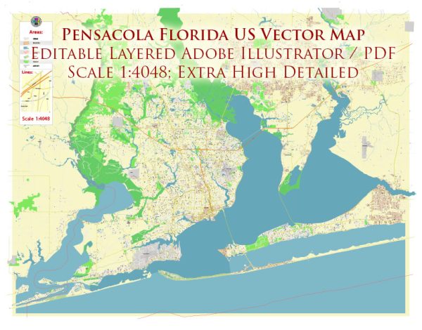
Pensacola, Florida, has a rich history of urban development that dates back centuries. The area’s history is shaped by its strategic location on the Gulf of Mexico, which has influenced its economic, cultural, and social development over time. Here is an overview of the key aspects of Pensacola’s urban development history:
- Early Settlement and Spanish Influence (16th-18th centuries):
- Pensacola is one of the oldest European settlements in the continental United States. Spanish explorer Tristán de Luna established a short-lived settlement in 1559, making it the first European settlement in the area.
- The Spanish influence continued with the construction of Fort San Carlos de Barrancas in the late 18th century, marking the beginning of military presence in the region.
- British and American Periods (1763-1821):
- The area came under British control after the Treaty of Paris in 1763, but it was returned to Spain in 1783 after the American Revolution. The United States took control in 1821, following the Adams-Onís Treaty.
- Military Presence and Naval Base (19th century):
- The construction of naval forts, including Fort Pickens and the Pensacola Navy Yard, played a significant role in the city’s development. The naval base contributed to the local economy and population growth.
- Civil War and Reconstruction (1861-1865):
- Pensacola was a strategic location during the Civil War, with Union and Confederate forces vying for control. The city suffered damage during the conflict but played a role in the post-war reconstruction era.
- Industrialization and Economic Growth (late 19th-early 20th centuries):
- The late 19th century saw industrialization and economic growth in Pensacola. The lumber and shipping industries became major contributors to the local economy.
- Hurricane Damage and Rebuilding (20th century):
- Pensacola faced challenges, including hurricane damage, notably during the Great Pensacola Hurricane of 1906. The city underwent rebuilding efforts in the aftermath.
- Military Influence and Aviation (20th century):
- The Pensacola Naval Air Station, established in 1914, played a crucial role in the city’s development, particularly during World War II and the subsequent growth of the aviation industry.
- Tourism and Modern Urban Development (late 20th century-present):
- Tourism became a significant economic driver, with the city’s coastal location and historic sites attracting visitors. The development of infrastructure, including the construction of the Pensacola Bay Bridge, contributed to urban expansion.
- Cultural and Educational Institutions:
- Pensacola is home to cultural and educational institutions like the University of West Florida, contributing to the city’s vibrancy and intellectual capital.
- Hurricane Ivan and Resilience (2004):
- Hurricane Ivan in 2004 caused significant damage to the area, but Pensacola demonstrated resilience in the aftermath, focusing on rebuilding and improvements to infrastructure.
Today, Pensacola stands as a city with a diverse cultural heritage, a strong military presence, and a growing tourism industry, all influenced by its rich historical tapestry. The city’s urban development reflects a combination of historical preservation and modernization efforts.


 Author: Kirill Shrayber, Ph.D. FRGS