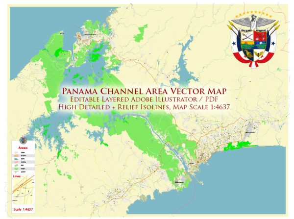
The Panama Canal is a significant waterway that connects the Atlantic and Pacific Oceans, facilitating global maritime trade. However, the canal itself does not have urban development associated with it. Instead, the cities and areas around the canal have experienced growth and changes due to its construction and operation.
Here’s a brief overview of the history of urban development around the Panama Canal:
- Colon and Panama City:
- Colon: Located on the Caribbean side, Colon is one of the main cities associated with the Panama Canal. It was an essential hub during the construction of the canal and served as the northern terminus of the Panama Railroad, which was crucial for transporting goods and workers.
- Panama City: On the Pacific side, Panama City also played a significant role. It served as the southern terminus of the railroad and became a key center for commerce and administration during the construction and operation of the canal.
- Construction Era:
- The construction of the Panama Canal began in the late 19th century by the French, led by Ferdinand de Lesseps. However, due to engineering challenges and a high mortality rate among workers, the French effort failed.
- The United States took over the construction in the early 20th century, with the canal opening in 1914. This period saw a significant influx of laborers, engineers, and administrators, leading to the growth of towns and cities along the canal route.
- Company Towns and Housing:
- The construction and operation of the canal required the establishment of company towns and housing for workers and their families. These included places like Balboa and Cristobal, which provided housing, schools, and other amenities for canal employees.
- Post-Construction Era:
- After the canal’s completion, the Canal Zone, an American-administered area, played a crucial role in the region’s urban development. The Canal Zone included military bases, administrative centers, and residential areas.
- The transfer of control of the canal to Panama in 1999 marked a significant shift in the region’s dynamics, leading to changes in governance, economic activities, and urban development.
- Current Urban Landscape:
- Today, cities like Panama City and Colon continue to be important centers for commerce and trade. The areas around the canal have witnessed ongoing urban development, with infrastructure projects, commercial zones, and residential areas contributing to the growth of the region.
Overall, the history of urban development around the Panama Canal is closely tied to the canal’s construction, the establishment of company towns, and the subsequent growth and changes in the region over the years.


 Author: Kirill Shrayber, Ph.D.