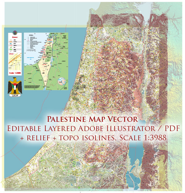
Palestine, with a history dating back thousands of years, has a rich and complex urban development trajectory. The region’s urban history is deeply intertwined with its political, cultural, and religious evolution. Here’s a brief overview of Palestine’s history of urban development:
- Ancient Period:
- Canaanite Cities: The region that is now Palestine was inhabited by ancient Canaanites, who established several city-states, including Jericho, one of the world’s oldest continuously inhabited cities.
- Phoenician and Philistine Influence: The coastal areas were influenced by Phoenician and Philistine cultures, leading to the development of ports and trade centers.
- Classical Period:
- Hellenistic and Roman Rule: With the conquests of Alexander the Great, Hellenistic influence spread throughout the region. The Romans later took control, contributing to the construction of cities like Caesarea Maritima and Beit She’an.
- Byzantine Era:
- Christian Influence: During the Byzantine period, Christianity took root, and many cities saw the construction of churches and monasteries. Jerusalem became a significant Christian center.
- Islamic Period:
- Arab Conquest: In the 7th century, Arab armies conquered the region, leading to the spread of Islam. Jerusalem gained importance as the third holiest city in Islam, resulting in the construction of the Dome of the Rock and the Al-Aqsa Mosque.
- Medieval Urban Centers: Cities like Ramla and Hebron flourished under Islamic rule, witnessing the construction of palaces, mosques, and marketplaces.
- Crusader and Mamluk Periods:
- Crusader Rule: The Crusaders established several fortified cities, including Acre and Jaffa, during their control in the 12th century.
- Mamluk Architecture: After the Mamluks ousted the Crusaders, they developed and expanded existing cities, leaving behind notable architectural contributions.
- Ottoman Rule:
- Ottoman Influence: Ottoman rule, lasting from the 16th to the early 20th century, left a lasting impact on urban development. Nablus, Jerusalem, and Hebron were among the cities with Ottoman architectural contributions, including mosques, markets, and residential buildings.
- British Mandate and Modern Period:
- Urbanization: The British Mandate period (1920-1948) witnessed increased urbanization, especially in cities like Jaffa and Haifa. The influx of Jewish immigrants also contributed to urban growth.
- Post-1948 Developments: After the establishment of the State of Israel in 1948, many Palestinian cities experienced demographic shifts and, in some cases, destruction. The West Bank and Gaza Strip saw further urban development after coming under Palestinian administration.
- Contemporary Challenges:
- Israeli-Palestinian Conflict: The ongoing conflict has impacted urban development, leading to issues such as restricted movement, the construction of settlements, and the division of Jerusalem.
- Urbanization and Infrastructure: Despite challenges, Palestinian cities continue to grow, with efforts to improve infrastructure and enhance economic development.
Throughout its history, Palestine’s urban development has been shaped by a combination of indigenous cultures, religious influences, and geopolitical changes, resulting in a diverse and historically rich urban landscape.


 Author: Kirill Shrayber, Ph.D. FRGS