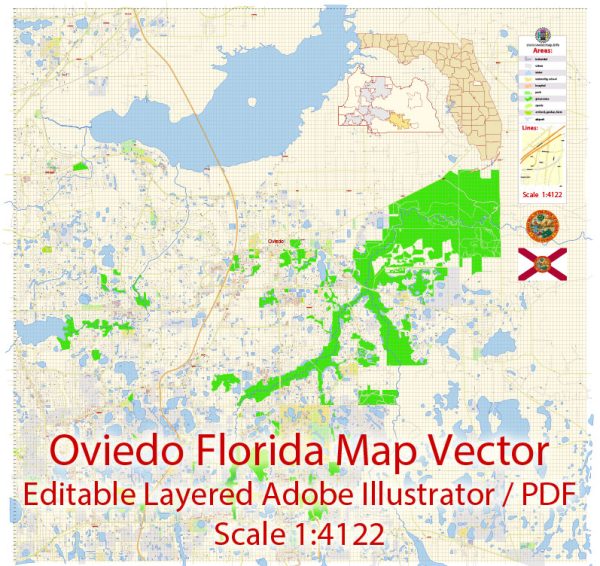
Oviedo, Florida, has a rich history of urban development that reflects the growth and changes in the region over the years. Here is a general overview of the history of urban development in Oviedo:
- Early Settlement: Oviedo’s history dates back to the mid-19th century when the area was settled by a group of homesteaders. Originally known as “Lake Jesup Settlement,” the town’s name was later changed to Oviedo in 1879. Agriculture, particularly citrus farming, played a significant role in the early economy.
- Railroad Expansion: The arrival of the South Florida Railroad in the late 19th century boosted Oviedo’s growth. The railroad facilitated transportation of goods and people, encouraging economic development.
- Citrus Industry: Oviedo was a hub for the citrus industry during the early to mid-20th century. Citrus groves and packing houses were prominent features of the landscape, contributing to the town’s economic prosperity.
- Post-World War II Era: Like many other communities in Florida, Oviedo experienced a population boom in the post-World War II era. The expansion of suburban areas and the growth of Orlando as a major metropolitan area influenced Oviedo’s development.
- Education and Research Influence: The presence of the University of Central Florida (UCF) in nearby Orlando has had an impact on Oviedo’s development. As UCF grew and attracted more students and faculty, some people chose to live in Oviedo for its proximity to the university.
- Residential Growth: In recent decades, Oviedo has witnessed substantial residential growth. Suburban development, including the construction of housing developments and shopping centers, has transformed the town into a more residential and commuter-oriented community.
- Technology and Industry: Oviedo has seen the emergence of technology and research-related industries, with some companies choosing to establish a presence in the area. This has contributed to economic diversification and job opportunities.
- Preservation Efforts: Efforts have been made to preserve the town’s historical character. Oviedo has a historic district that showcases some of the town’s oldest structures, providing a glimpse into its past.
It’s essential to note that the information provided here is a general overview, and for more detailed and up-to-date information, it’s recommended to consult local historical archives, community resources, or the city government of Oviedo.


 Author: Kirill Shrayber, Ph.D. FRGS