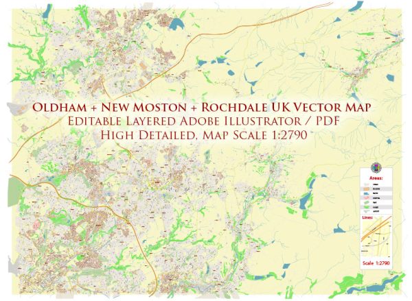
Oldham, New Moston, and Rochdale are towns in Greater Manchester, United Kingdom, each with its own unique history of urban development. While I can provide a general overview, it’s important to note that specific details may vary, and local historical records and sources can provide more in-depth information.
Oldham:
Early Industrial Development:
- Oldham was historically a part of Lancashire and gained prominence during the Industrial Revolution in the late 18th and early 19th centuries.
- The town became a major center for cotton and textile production, attracting industries and leading to rapid urbanization.
Cotton Mills and Textile Industry:
- Cotton mills played a crucial role in shaping Oldham’s urban landscape. The skyline was dominated by numerous mill chimneys, and the town became known for its textile production.
Population Growth and Immigration:
- The economic opportunities in the textile industry attracted a diverse population, including immigrants seeking work in the mills. This contributed to the cultural diversity of Oldham.
Economic Decline and Regeneration:
- Like many industrial towns, Oldham faced economic decline in the later 20th century as industries declined. Efforts were made to regenerate the town and diversify the economy.
New Moston:
Agricultural Origins:
- New Moston, originally a rural area, saw significant changes with the growth of nearby Manchester during the Industrial Revolution.
Residential Development:
- In the late 19th and early 20th centuries, New Moston experienced residential development as people moved from the city to the suburbs. This was characterized by the construction of housing and the establishment of local amenities.
Post-War Expansion:
- After World War II, there was a considerable increase in housing construction to accommodate the growing population. This expansion continued into the mid-20th century.
Rochdale:
Medieval Origins:
- Rochdale has medieval origins, with a market charter granted in 1251. The town’s early development was influenced by agriculture and the textile industry.
Co-operative Movement:
- Rochdale is famous for the Rochdale Pioneers, who established the first successful cooperative store in 1844. This cooperative movement had a significant impact on social and economic development.
Industrialization and Textile Mills:
- Similar to Oldham, Rochdale experienced industrialization with the growth of textile mills, though it maintained a focus on the cooperative movement.
Post-Industrial Transition:
- Rochdale, like other industrial towns, faced economic challenges in the latter half of the 20th century. Efforts were made to diversify the economy and regenerate urban areas.
These overviews provide a glimpse into the historical development of Oldham, New Moston, and Rochdale. To delve deeper into specific periods or aspects of their histories, consulting local historical archives and studies would be beneficial.


 Author: Kirill Shrayber, Ph.D. FRGS