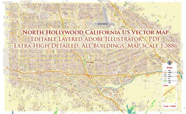
North Hollywood, located in the San Fernando Valley region of Los Angeles, California, has a rich history of urban development that reflects the broader trends and changes in the region over the years. Here’s a brief overview:
- Early Settlement and Agriculture (1887-1920s):
- North Hollywood’s history dates back to the late 19th century when the area was primarily agricultural. Isaac Lankershim and Isaac Van Nuys, prominent developers, purchased a significant portion of the San Fernando Valley and established the Los Angeles Farming and Milling Company in 1869.
- Railroad Development (1890s-1900s):
- The Southern Pacific Railroad played a crucial role in the development of the area. The arrival of the railroad in the late 19th century spurred economic growth, making it easier to transport goods and people to and from the region.
- Lankershim/North Hollywood Transformation (1920s-1930s):
- The area underwent significant changes in the 1920s when it was named Lankershim after one of the original developers. In 1927, the name was changed to North Hollywood to capitalize on the growing film industry in the area. The construction of the Lankershim Boulevard commercial district contributed to the urbanization of North Hollywood.
- Film and Entertainment Industry (1920s-present):
- The entertainment industry has played a pivotal role in North Hollywood’s development. It became a popular location for film and television production, with many studios and soundstages established in the area. The NoHo Arts District, developed in the 1990s, further solidified North Hollywood’s status as an arts and entertainment hub.
- Suburban Expansion (1940s-1950s):
- Following World War II, there was a surge in suburbanization and population growth in North Hollywood, as returning veterans and their families sought housing in the expanding suburban areas. This period saw the development of residential neighborhoods and the establishment of schools and other community amenities.
- Transportation and Infrastructure (20th Century):
- The construction of the Hollywood Freeway (US 101) in the 1940s improved accessibility to North Hollywood and contributed to its growth. The expansion of the freeway system and the development of public transportation further shaped the urban landscape.
- Diverse Communities and Demographics:
- North Hollywood has become a diverse community over the years, with a mix of ethnicities and cultures contributing to its vibrant character. The neighborhoods encompass a range of housing styles, from historic homes to more contemporary developments.
- Revitalization Efforts (1990s-present):
- In recent decades, North Hollywood has experienced revitalization efforts aimed at enhancing the urban environment. The NoHo Arts District, with its theaters, galleries, and restaurants, has been a focal point for these initiatives, attracting residents and visitors alike.
North Hollywood’s history of urban development reflects the broader trends of Los Angeles, including the influence of the entertainment industry, suburbanization, and efforts to create vibrant, livable communities.


 Author: Kirill Shrayber, Ph.D. FRGS