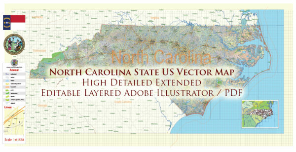
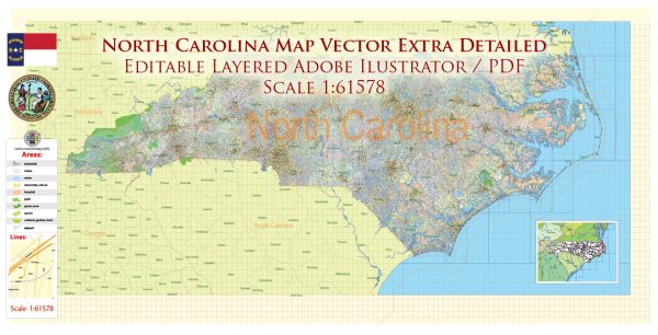
North Carolina has a rich history of urban development that reflects the state’s evolution from a primarily agrarian society to a more diversified and urbanized economy. The state’s urban history is shaped by factors such as agriculture, industry, transportation, and demographic shifts. While it’s challenging to cover the entire history comprehensively, here’s a brief overview of key periods and aspects of North Carolina’s urban development:
- Colonial and Antebellum Periods (1600s-1860s):
- Early settlements: The state’s urban history began with the establishment of towns such as Bath and Edenton in the late 17th century.
- Economic dependence: Agriculture, particularly tobacco and cotton, was the dominant economic force, and towns served as trading and market centers.
- Port cities: Wilmington and New Bern emerged as important port cities, connecting North Carolina to international trade routes.
- Civil War and Reconstruction (1860s-1870s):
- Economic shifts: The Civil War and its aftermath led to economic changes, impacting both rural and urban areas.
- Reconstruction: The period following the Civil War saw efforts to rebuild and modernize, with a focus on infrastructure development.
- Industrialization and Urbanization (Late 19th to Early 20th Century):
- Rise of industry: The late 19th century saw the growth of textile mills and tobacco processing, contributing to the industrialization of urban areas.
- Raleigh and Charlotte: These cities began to emerge as economic and political centers.
- 20th Century:
- Economic diversification: In the mid-20th century, North Carolina diversified its economy beyond agriculture and textiles, with the rise of banking, technology, and research industries.
- Research Triangle Park: Established in the 1950s, RTP became a hub for research and technology, contributing significantly to the state’s economic development.
- Post-World War II Suburbanization:
- Population growth: North Carolina experienced significant population growth, leading to suburbanization and the development of bedroom communities around major urban centers.
- Infrastructure development: The construction of highways and increased car ownership facilitated suburban growth.
- Late 20th Century to Present:
- Continued urban growth: Cities like Charlotte, Raleigh, and Durham have continued to grow, attracting businesses, educational institutions, and a diverse population.
- Urban revitalization: Many cities have invested in revitalizing downtown areas, promoting cultural amenities, and improving infrastructure.
- Challenges and Opportunities:
- Urban sprawl: North Carolina faces challenges related to urban sprawl and managing growth while preserving natural resources.
- Affordable housing: As urban areas expand, there are concerns about housing affordability and equitable development.
North Carolina’s urban history reflects a dynamic interplay of economic, social, and cultural factors, shaping the state’s urban landscape into what it is today. The ongoing development and challenges faced by North Carolina’s cities contribute to the state’s vibrant and evolving identity.


 Author: Kirill Shrayber, Ph.D. FRGS