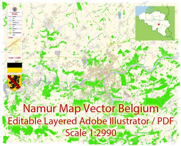
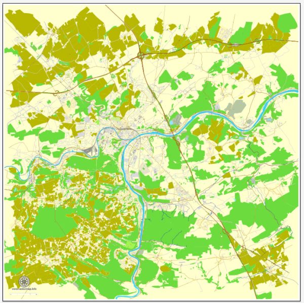
Namur, located in the Wallonia region of Belgium, has a rich history that spans centuries. The city’s development can be traced back to ancient times, and its strategic location along the Meuse River has played a significant role in shaping its urban landscape. Here’s an overview of the history of urban development in Namur:
- Roman Period (1st Century BC – 5th Century AD): The earliest traces of human settlement in the Namur area date back to the Roman period. The Romans recognized the strategic importance of the location and established a fortification known as “Nomea” near the confluence of the Sambre and Meuse rivers.
- Medieval Period (5th Century – 15th Century): During the medieval period, Namur evolved as a center of commerce and trade. The city became a prominent regional hub, and its fortifications were expanded to protect against invasions. Namur’s strategic location made it a target for various conflicts, and control of the city changed hands multiple times between different feudal lords and powers.
- Burgundian and Spanish Rule (15th Century – 17th Century): Namur came under the rule of the Burgundian dukes in the 15th century and later became part of the Habsburg Netherlands under Spanish rule. During this time, the city’s fortifications were further strengthened to withstand external threats. The Citadel of Namur, a formidable fortress, was constructed on a hill overlooking the city.
- Dutch and French Periods (17th Century – 18th Century): Namur experienced a series of conflicts during the 17th and 18th centuries, including battles between the Dutch, French, and other European powers. The city changed hands several times, and its fortifications were repeatedly modified and expanded.
- 19th Century: The 19th century brought significant changes to Namur’s urban development. The Citadel underwent further modifications, and the city saw industrialization and the expansion of transportation infrastructure, including the construction of bridges and railways.
- World Wars (20th Century): Namur, like many European cities, was affected by both World War I and World War II. The city suffered damage during these conflicts, and reconstruction efforts took place in the post-war years.
- Contemporary Period: In the latter half of the 20th century and into the 21st century, Namur has continued to modernize. The city has diversified its economy, emphasizing services and tourism. The preservation of historical sites and the integration of modern amenities contribute to Namur’s unique urban character.
Throughout its history, Namur has faced challenges and undergone numerous transformations, shaping its current urban landscape as a blend of historical charm and modern functionality. The city’s strategic location and historical significance make it a captivating destination for those interested in exploring Belgium’s rich cultural heritage.


 Author: Kirill Shrayber, Ph.D.