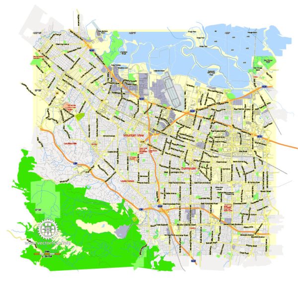
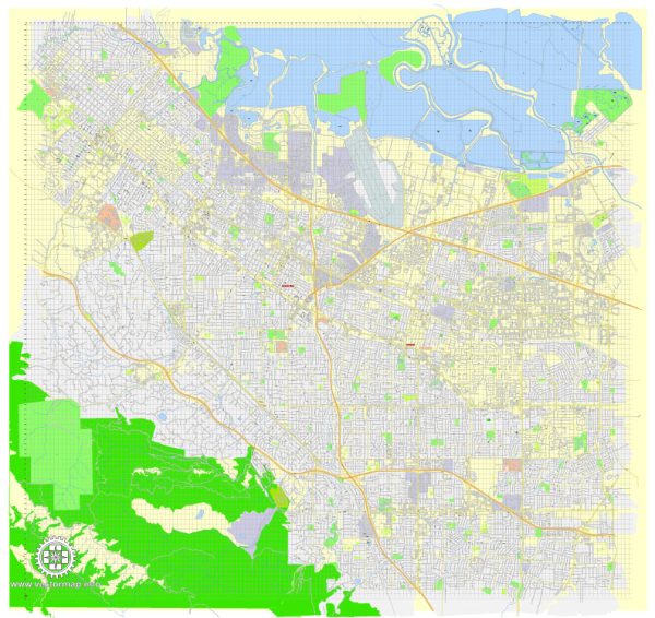
Mountain View, located in Santa Clara County, California, has a rich history of urban development that reflects the broader trends of the region. Here’s a brief overview of the history of urban development in Mountain View:
- Early Settlement and Agriculture (19th Century):
- Mountain View’s history dates back to the 19th century when it was originally settled by Spanish and Mexican ranchers.
- The area was primarily agricultural, with ranching and farming being the main economic activities.
- Railroad and Early Growth (Late 19th Century):
- The arrival of the Southern Pacific Railroad in the late 19th century played a crucial role in the development of Mountain View.
- The railroad facilitated the transportation of agricultural products to markets, contributing to the growth of the local economy.
- Transformation into a Residential Community (Early to Mid-20th Century):
- The early to mid-20th century saw a shift towards residential development.
- Suburbanization became a prominent trend, and Mountain View started evolving into a residential community, attracting families and individuals seeking a suburban lifestyle.
- Post-World War II Boom and Silicon Valley Emergence (1950s-1970s):
- The post-World War II era brought about significant growth and development, fueled in part by the region’s proximity to Stanford University and the emerging electronics industry.
- The development of the Moffett Federal Airfield and NASA Ames Research Center further contributed to the city’s growth.
- Silicon Valley Tech Hub (1980s Onward):
- The 1980s marked the beginning of Mountain View’s association with the technology industry. Tech companies, including Google, played a crucial role in shaping the city’s identity as part of Silicon Valley.
- The city became a hub for innovation and entrepreneurship, attracting tech professionals from around the world.
- Tech Boom and Urban Redevelopment (1990s-Present):
- The dot-com boom of the late 20th century and subsequent tech booms in the 21st century further transformed Mountain View.
- Large tech campuses, including Google’s headquarters (Googleplex), significantly altered the cityscape.
- Challenges of Growth and Urban Planning (Present):
- The rapid growth of the tech industry brought challenges such as increased housing demand, traffic congestion, and rising living costs.
- Urban planning initiatives have aimed to address these issues, balancing the need for economic development with maintaining a high quality of life for residents.
- Sustainability and Community Development:
- Recent years have seen a focus on sustainability and community development. Initiatives include the creation of green spaces, bike-friendly infrastructure, and efforts to enhance public transportation.
Mountain View’s history reflects the broader evolution of the Silicon Valley region, with its transformation from an agricultural and suburban community to a global technology hub. The city continues to adapt to the dynamic changes brought about by the technology industry while addressing the associated challenges of urban development.


 Author: Kirill Shrayber, Ph.D. FRGS