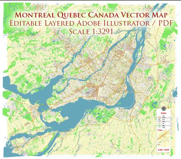
Montreal, located in the province of Quebec, Canada, has a rich history of urban development that spans several centuries. The city’s evolution has been shaped by its geographic location, cultural diversity, economic activities, and political influences. Here is a brief overview of the history of urban development in Montreal:
- Indigenous Peoples: Before European colonization, the area that is now Montreal was inhabited by Indigenous peoples, including the Kanien’kehá:ka (Mohawk) and Algonquin nations. The St. Lawrence River and its tributaries were vital for trade and transportation, influencing the settlement patterns of Indigenous communities.
- Early European Exploration: French explorer Jacques Cartier arrived in the region in 1535, and Samuel de Champlain later explored the area in the early 17th century. The fur trade, facilitated by the waterways, became a significant economic driver.
- Foundation of Ville-Marie: In 1642, Paul Chomedey de Maisonneuve and Jeanne Mance founded Ville-Marie on the Island of Montreal as a missionary outpost. The settlement’s strategic location along the St. Lawrence River contributed to its growth.
- British Conquest: Montreal became a British possession in 1763 following the Treaty of Paris, which ended the Seven Years’ War. The city retained its French-speaking character despite British rule.
- Canal Construction and Industrialization: The Lachine Canal, completed in 1825, facilitated transportation and spurred industrialization. Factories and industries emerged along the canal, attracting a diverse workforce.
- Railways and Economic Expansion: The mid-19th century saw the expansion of railways, connecting Montreal to other parts of Canada and the United States. This connectivity boosted trade and contributed to Montreal’s economic prosperity.
- Cultural and Economic Hub: By the late 19th and early 20th centuries, Montreal had become a major economic and cultural hub. The city’s diverse population, with a significant Anglophone and Francophone presence, contributed to its cosmopolitan character.
- Urban Planning and Modernization: In the 20th century, Montreal underwent urban planning initiatives and modernization projects. The 1967 World Exposition (Expo 67) and the 1976 Summer Olympics provided opportunities for large-scale development, including the construction of iconic structures like the Montreal Metro and the Olympic Stadium.
- Language and Cultural Dynamics: Montreal has often been at the center of debates regarding language and cultural identity, with tensions between the English-speaking and French-speaking communities. The city’s unique bilingual and multicultural character continues to shape its urban landscape.
- Contemporary Urban Challenges: In recent decades, Montreal has faced challenges such as urban sprawl, transportation issues, and the preservation of historic neighborhoods. Ongoing efforts focus on sustainable development, cultural preservation, and improving urban infrastructure.
Montreal’s history of urban development reflects its dynamic and resilient character, blending a rich cultural heritage with modern urban planning initiatives. The city stands as a testament to the coexistence of historical charm and contemporary vibrancy.

 Author: Kirill Shrayber, Ph.D. FRGS