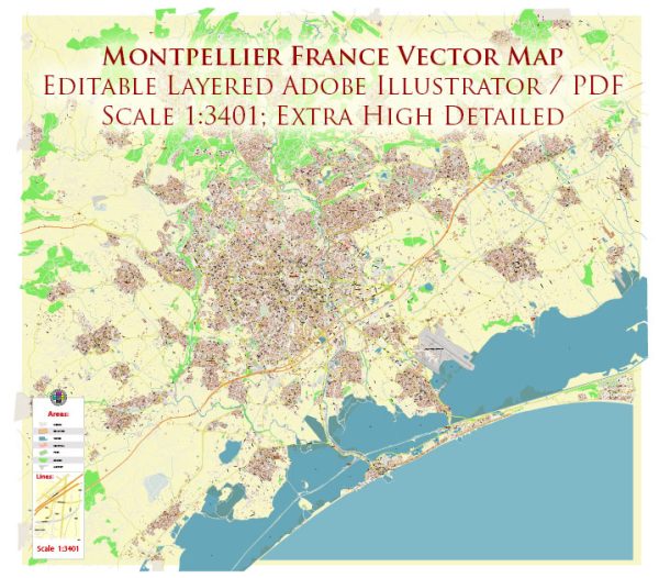
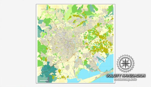
Montpellier, located in the southern part of France, has a rich history of urban development that spans centuries. Here’s a brief overview:
- Medieval Roots (8th-14th centuries):
- Montpellier was founded in the 8th century and quickly became a prosperous trading center due to its strategic location near the Mediterranean Sea.
- The city’s medieval layout was characterized by narrow winding streets and a central market square.
- Montpellier became renowned for its university, founded in 1289, which attracted scholars from across Europe.
- Renaissance and Early Modern Period (15th-18th centuries):
- During the Renaissance, Montpellier experienced cultural and economic growth. The city’s architecture began to reflect Renaissance influences.
- The city faced periods of turmoil, including religious conflicts like the Wars of Religion in the 16th century.
- The city walls, constructed during the medieval era, were gradually dismantled as Montpellier expanded beyond its original confines.
- 18th-19th Centuries:
- Montpellier continued to grow in the 18th century, with the construction of new squares and public buildings reflecting classical and neoclassical styles.
- The city played a role in the Enlightenment, hosting intellectual and scientific advancements.
- The French Revolution had an impact on Montpellier, leading to social and political changes.
- 19th-20th Centuries:
- The 19th century saw urban planning initiatives, including the creation of the Promenade du Peyrou, a grand esplanade.
- Industrialization and population growth prompted expansion beyond the historic city center.
- In the 20th century, Montpellier experienced significant urbanization, with new neighborhoods, infrastructure, and modernization projects.
- Contemporary Development (Late 20th Century Onward):
- Montpellier has continued to evolve as a dynamic and modern city. The development of Antigone, a district with neo-classical architecture, stands out as a significant urban planning project initiated in the 1970s.
- The city has invested in public transportation, including a modern tram system, to address the challenges of urban mobility.
- Montpellier has become known for its commitment to sustainable development, with efforts to integrate green spaces and environmentally friendly initiatives.
- Cultural and Economic Hub:
- Today, Montpellier is a vibrant cultural and economic hub. It combines its historical charm with a modern, cosmopolitan atmosphere.
- The city’s urban development reflects a balance between preserving its rich heritage and adapting to contemporary needs.
Montpellier’s history of urban development is a fascinating blend of medieval, Renaissance, and modern influences, creating a city that uniquely captures the spirit of each era while looking toward the future.


 Author: Kirill Shrayber, Ph.D. FRGS