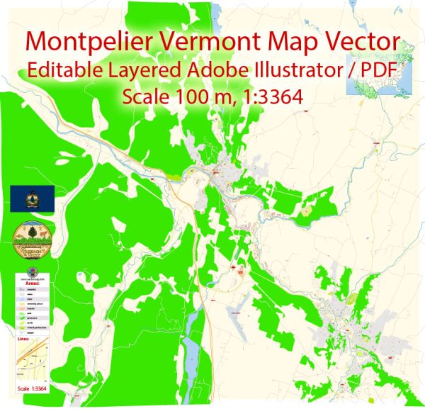
Montpelier, the capital city of Vermont, is known for its unique history and relatively small size. Unlike many other state capitals, Montpelier has a population of around 7,500 people, making it the smallest capital city by population in the United States. The city’s history of urban development reflects its role as the political center of Vermont and its commitment to preserving its historic character.
- Early Settlement and Development: Montpelier was settled in the late 18th century and was chosen as the capital of Vermont in 1805. The city’s layout reflects its New England heritage, with a grid pattern of streets surrounding the State House, which has been the seat of Vermont’s government since its construction in the early 19th century.
- Architectural Heritage: Montpelier boasts a well-preserved architectural heritage, with many historic buildings dating back to the 19th century. The State House, designed in the Greek Revival style, stands as a prominent symbol of the city. Other historic structures include Victorian-era homes, churches, and commercial buildings that contribute to the city’s charm.
- Economic Changes: Montpelier experienced economic changes over the years, transitioning from an agricultural economy to one that is more service-oriented. The city’s economy became increasingly tied to state government activities, and various businesses and services developed to support the needs of government employees and visitors.
- Urban Planning and Zoning: Montpelier has been intentional about its urban planning and zoning regulations to preserve its historic character. There are height restrictions on buildings in the downtown area to maintain the city’s small-town feel, and efforts have been made to encourage mixed-use development that combines residential and commercial spaces.
- Community Engagement: The residents of Montpelier take pride in their community and have actively participated in efforts to shape the city’s development. Preservation of green spaces and a commitment to sustainability are notable aspects of Montpelier’s urban development initiatives.
- Challenges and Opportunities: Despite its historical charm, Montpelier faces challenges common to small cities, including economic sustainability and infrastructure maintenance. Balancing the need for modern amenities with the preservation of historic character remains an ongoing challenge.
- Cultural and Recreational Aspects: Montpelier’s urban development also includes cultural and recreational elements. The city has parks, museums, and cultural events that contribute to the quality of life for residents and attract visitors.
- Future Development: The city continues to evolve, with ongoing discussions about future development projects, transportation planning, and maintaining a balance between economic growth and preserving its historic identity.
Montpelier’s urban development history reflects a commitment to preserving its heritage while adapting to the changing needs of its residents and the state government. The city’s small size, historic architecture, and community engagement contribute to its unique character within the American urban landscape.


 Author: Kirill Shrayber, Ph.D. FRGS