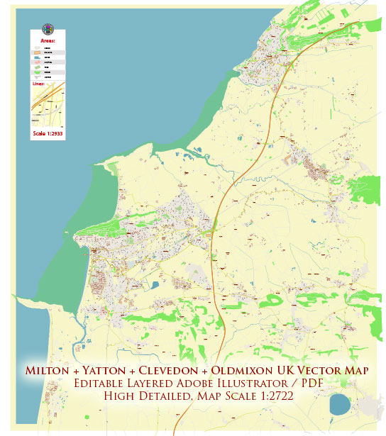
General overview of the history of Milton, Yatton, Clevedon, and Oldmixon in the United Kingdom.
- Milton:
- History: Milton is often associated with places like Milton Park and Milton Green. In many cases, the history of smaller villages like Milton is closely tied to the larger nearby towns and cities. Historical developments in the area may include agricultural origins, industrialization, and possibly connections to local estates.
- Yatton:
- History: Yatton is a village in North Somerset, England. The history of Yatton likely goes back many centuries, with evidence of human settlement in the area during the Roman period. The village, like many in the region, may have been shaped by agriculture and later developments such as the growth of trade and industry.
- Clevedon:
- History: Clevedon is a town and civil parish in the unitary authority of North Somerset. Its history dates back to Roman times, and it has evolved over the centuries. In the 19th century, Clevedon became a seaside resort, and this period saw significant development, including the construction of the Clevedon Pier, which opened in 1869. The Victorian architecture and the pier are key features of Clevedon’s historical and architectural heritage.
- Oldmixon:
- History: Oldmixon is an area in Weston-super-Mare, Somerset. The history of Oldmixon may be connected to the broader history of Weston-super-Mare, a seaside town that developed in the 19th century as a popular holiday destination. Like Clevedon, Weston-super-Mare experienced growth during the Victorian era, with the expansion of the railway network contributing to its popularity.
Urban Development:
- The urban development of these areas would have been influenced by factors such as industrialization, transportation improvements (e.g., railways), and changes in economic activities. The Victorian era was a crucial period for many towns and villages in the UK, with the development of new infrastructure and housing.
- Post-World War II, there might have been further developments, including suburbanization and modernization. Urban planning and architecture in the mid-20th century could have shaped the current layout and structure of these communities.
For the most current and specific information, I recommend checking local historical archives, town planning offices, or community resources for updates on the history and urban development of Milton, Yatton, Clevedon, and Oldmixon.


 Author: Kirill Shrayber, Ph.D. FRGS