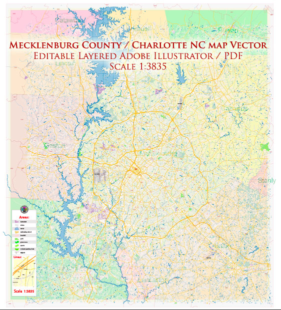
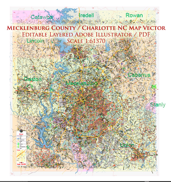
Mecklenburg County, located in the Piedmont region of North Carolina, has a rich history of urban development that reflects the broader trends in American urbanization. The county seat, Charlotte, is the largest city in North Carolina and a major financial hub in the southeastern United States. Here is an overview of the history of urban development in Mecklenburg County:
- Colonial Era (18th Century):
- Mecklenburg County was established in 1762, and Charlotte was founded in 1768. The area was originally inhabited by Native American tribes before European settlers arrived.
- The discovery of gold in nearby Cabarrus County in the early 19th century contributed to the region’s growth.
- Antebellum Period (19th Century):
- Charlotte became a major trading center for the region, thanks to its strategic location at the intersection of two Native American trading paths.
- The construction of railroads in the mid-19th century further boosted Charlotte’s growth, connecting it to other parts of the state and facilitating the transportation of goods.
- Civil War and Reconstruction (1860s):
- The Civil War had a significant impact on the region, as Charlotte was a key Confederate supply center. After the war, the city and county had to recover from the economic and social disruptions.
- Industrialization (Late 19th to Early 20th Century):
- The late 19th century saw the rise of industrialization in Mecklenburg County, particularly in textile manufacturing. Cotton mills became a major economic force.
- The development of a reliable electric streetcar system in the late 19th century influenced the pattern of urban growth, encouraging suburbanization.
- 20th Century Growth:
- In the early to mid-20th century, Charlotte continued to grow as a regional economic center, with the establishment of banks and other financial institutions.
- The construction of highways and the advent of the automobile era influenced the development of suburban areas and the expansion of the city.
- Post-WWII Urbanization and Economic Transformation:
- The post-World War II period brought significant suburbanization and the development of residential neighborhoods outside the city center.
- The city’s economy shifted towards banking and finance, and Charlotte became a major U.S. banking center, earning the nickname “Wall Street of the South.”
- Late 20th Century to Present:
- In the late 20th century and into the 21st century, Charlotte experienced rapid population growth and urban development. The skyline transformed with the construction of modern high-rise buildings.
- The city became a major hub for the finance, technology, and energy industries. The establishment of the Charlotte Research Institute and the growth of the University of North Carolina at Charlotte contributed to the city’s role as a center for education and innovation.
- Urban Renewal and Revitalization:
- Like many American cities, Charlotte has experienced periods of urban renewal and revitalization, with efforts to enhance the downtown area, promote mixed-use developments, and improve infrastructure.
The history of Mecklenburg County’s urban development reflects a dynamic interplay of economic, social, and technological factors that have shaped the region into the vibrant urban center it is today.


 Author: Kirill Shrayber, Ph.D.