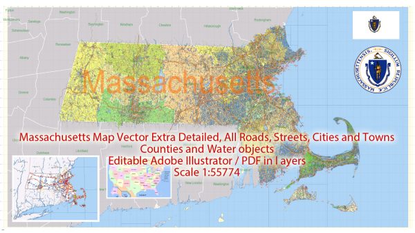
Massachusetts has a rich history of urban development that spans several centuries. The state played a significant role in the early development of the United States, and its cities have evolved in response to various economic, social, and cultural changes over the years. Here’s a brief overview of the state’s urban development history:
- Colonial Period (1620s-1770s): The first European settlers arrived in Massachusetts in the early 17th century, establishing towns such as Plymouth and Boston. These early settlements were characterized by compact, walkable designs centered around a town common or market square. Boston, the capital and largest city, grew as a major port and trading hub.
- Industrialization (Late 18th century-early 20th century): The Industrial Revolution had a profound impact on Massachusetts, leading to the growth of manufacturing industries. Cities like Lowell and Lawrence became major textile manufacturing centers. The influx of immigrants, particularly from Ireland and later Southern and Eastern Europe, contributed to urban population growth. As industries expanded, so did urban areas, with the development of factories and worker housing.
- 19th Century Urbanization: Boston continued to develop as a cultural and economic center. The city’s layout evolved with the introduction of new transportation systems, including the first American subway in 1897. The Back Bay area was filled in to accommodate urban expansion. The late 19th century also saw the emergence of planned suburbs connected to the cities by railroads and streetcars.
- Early 20th Century: The early 20th century brought further industrial growth and urbanization. The Boston metropolitan area expanded, and new neighborhoods developed. The construction of infrastructure, such as bridges and highways, became essential for connecting cities and suburbs. The Great Depression and World War II had both positive and negative impacts on urban development, influencing housing patterns and economic structures.
- Post-World War II (1945-1970s): Like many other parts of the United States, Massachusetts experienced suburbanization and the growth of the automobile culture. The construction of the interstate highway system, such as I-93 and I-95, facilitated commuting between cities and suburbs. This period also saw the redevelopment of some urban areas, with slum clearance and the construction of public housing projects.
- Late 20th Century to Present: In the latter half of the 20th century and into the 21st century, Massachusetts cities underwent revitalization efforts. Historic preservation became a priority, and many neighborhoods experienced gentrification. The focus shifted towards mixed-use development, adaptive reuse of old industrial buildings, and the creation of public spaces. Boston’s waterfront and Seaport District, for example, underwent significant redevelopment.
- Innovation and Education: Massachusetts is home to many prestigious universities and research institutions. The presence of institutions like MIT and Harvard has contributed to the development of technology and innovation hubs, particularly in the Greater Boston area. This has led to the growth of sectors such as biotechnology and information technology, shaping the economic landscape of urban areas.
- Challenges: Despite the positive developments, urban areas in Massachusetts face challenges such as housing affordability, transportation congestion, and income inequality. Efforts continue to address these issues through urban planning, affordable housing initiatives, and sustainable development practices.
Overall, Massachusetts’ urban development history reflects the broader trends in American urbanization, from colonial beginnings to the challenges and opportunities of the 21st century. The state’s cities continue to evolve, blending historical character with modern urban planning concepts.


 Author: Kirill Shrayber, Ph.D. FRGS