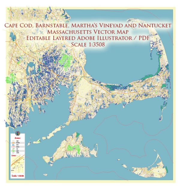
Cape Cod, Nantucket, and Barnstable in Massachusetts have rich histories that reflect the broader development of the United States. While these areas are often associated with picturesque landscapes and coastal charm, their urban development has been shaped by various historical, economic, and cultural factors.
- Early Settlement and Colonial Period (1600s-1700s):
- The first European settlers arrived on Cape Cod in the early 17th century. These settlers were primarily engaged in fishing, whaling, and agriculture.
- Nantucket was originally settled by the English in the mid-17th century. Whaling soon became a dominant industry for the island, shaping its economic development.
- Barnstable, settled in 1639, played a significant role in the region’s agricultural and maritime activities during the colonial period.
- Whaling and Maritime Industry (18th-19th centuries):
- Nantucket, in particular, became a major center for the whaling industry during the 18th and 19th centuries. The island’s prosperity was closely tied to this industry, and many historic homes and structures from this era still stand today.
- Cape Cod’s economy also revolved around maritime activities, including fishing and trade. Barnstable, as a port town, played a crucial role in facilitating these economic activities.
- 19th-Century Growth and Decline:
- As the whaling industry declined in the mid-19th century, Nantucket faced economic challenges. Many Nantucketers moved away in search of better opportunities.
- Cape Cod experienced periods of growth and decline during the 19th century. The advent of railroads and improved transportation contributed to increased tourism and summer residences.
- 20th Century and Tourism:
- Cape Cod, Nantucket, and Barnstable saw a surge in tourism in the 20th century. The region’s natural beauty, historic charm, and proximity to major cities attracted vacationers and seasonal residents.
- Barnstable evolved into a suburban community with a mix of residential, commercial, and recreational areas.
- Preservation and Conservation Efforts:
- In response to the growing threat of development, conservation efforts have been implemented to protect the natural beauty of Cape Cod and Nantucket. Organizations have worked to preserve historic structures, open spaces, and coastal environments.
- Modern Development Challenges:
- Today, the region faces challenges related to balancing development with environmental conservation. Zoning regulations and community planning aim to strike a balance between economic growth and preserving the character of these areas.
- Cultural and Historical Significance:
- The Cape Cod National Seashore, established in 1961, preserves a significant stretch of the Cape’s shoreline and is an important cultural and recreational resource.
- Nantucket’s historic district and cobblestone streets contribute to its designation as a National Historic Landmark.
Understanding the history of urban development in Cape Cod, Nantucket, and Barnstable provides insights into the economic, social, and cultural forces that have shaped these areas into the unique communities they are today.


 Author: Kirill Shrayber, Ph.D. FRGS