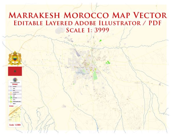
Marrakesh, one of Morocco’s most famous and culturally rich cities, has a history of urban development that spans over a thousand years. The city’s development can be divided into several key historical periods, each contributing to the unique blend of cultural influences that characterize Marrakesh today.
- Foundation (11th Century):
- Marrakesh was founded in 1062 by Abu Bakr ibn Umar, a cousin of the ruling Almoravid king. The Almoravids, a Berber dynasty, established Marrakesh as their capital, creating a fortified city surrounded by walls to protect it from potential invasions.
- Almohad Period (12th Century):
- The Almohad dynasty took control of Marrakesh in the 12th century, bringing about significant architectural changes. They expanded the city’s fortifications, built monumental gates, and constructed the Koutoubia Mosque, an iconic landmark that remains one of the city’s most recognizable structures.
- Merinid Period (13th-16th Centuries):
- The Merinid dynasty contributed to Marrakesh’s development by expanding the city further and enhancing its infrastructure. They built new mosques, palaces, and public baths, leaving a lasting impact on the city’s architectural landscape.
- Saadian Dynasty (16th Century):
- Marrakesh experienced a period of decline after the fall of the Merinids. However, the Saadian dynasty revived the city in the 16th century. The Saadian Tombs and the El Badi Palace are examples of their architectural contributions.
- Alaouite Dynasty (17th Century Onward):
- The Alaouite dynasty, which still rules Morocco today, continued to influence Marrakesh’s development. The city saw further expansion, and notable structures, such as the Bahia Palace, were constructed during this time.
- French and Spanish Protectorate (20th Century):
- In the early 20th century, Morocco came under French and Spanish influence. While the capital was moved to Rabat, Marrakesh continued to play a significant role in Moroccan culture. The French Protectorate had a limited impact on the city’s traditional architecture.
- Post-Independence Era (1956 Onward):
- After gaining independence in 1956, Marrakesh saw a surge in tourism. The city adapted to accommodate the growing number of visitors, leading to the development of modern amenities, hotels, and infrastructure while preserving its historical sites.
- Contemporary Development:
- Today, Marrakesh is a bustling city that blends traditional Moroccan architecture with modern influences. The medina, a UNESCO World Heritage site, retains its historic charm with narrow winding streets, souks, and historic buildings, while the modern city outside the walls continues to grow and evolve.
Marrakesh’s history of urban development reflects the cultural, political, and economic changes that Morocco has experienced over the centuries, creating a city that is both ancient and dynamic. The juxtaposition of the old and the new is part of what makes Marrakesh a fascinating destination for locals and tourists alike.


 Author: Kirill Shrayber, Ph.D. FRGS