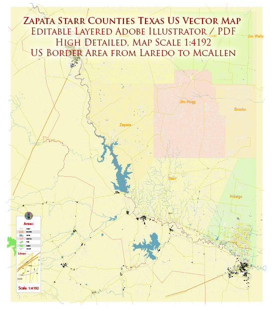
Zapata and Starr counties are located in southern Texas, along the United States-Mexico border. These counties have a rich history that reflects the broader historical and cultural context of the region.
Zapata County:
Early History:
- Indigenous Presence: Before European colonization, the area was inhabited by various indigenous groups, including the Coahuiltecan people.
- Spanish Exploration: Spanish explorers, such as José de Escandón, played a significant role in the region’s exploration and colonization during the 18th century.
19th Century:
- Ranching and Agriculture: The economy of Zapata County was traditionally based on ranching and agriculture, with cattle ranching being a prominent activity.
- Mexican-American War: The region played a role in the Mexican-American War (1846-1848), and the Treaty of Guadalupe Hidalgo in 1848 resulted in the United States acquiring the territory from Mexico.
20th Century:
- Oil Discovery: The early 20th century saw the discovery of oil in the region, leading to increased economic development.
- Infrastructure Development: Improved infrastructure, including the construction of roads and bridges, contributed to the growth of communities within the county.
- Population Growth: The population of Zapata County gradually increased over the years, with a mix of Hispanic and Anglo communities.
Recent Developments:
- Border Issues: The county has been affected by issues related to immigration and border security, given its proximity to the U.S.-Mexico border.
- Economic Diversification: Efforts have been made to diversify the economy beyond agriculture and oil, with a focus on tourism and other industries.
Starr County:
Early History:
- Native American Presence: Like Zapata County, Starr County was initially home to various Native American groups, including the Coahuiltecan people.
- Spanish Influence: Spanish colonization efforts in the 18th century played a crucial role in shaping the cultural and historical landscape.
19th Century:
- Ranching and Farming: Similar to Zapata, the economy of Starr County was rooted in ranching and farming during the 19th century.
- Civil War Impact: The region faced challenges during the Civil War (1861-1865), and the post-war period saw efforts to rebuild and develop the local economy.
20th Century:
- Railroads and Transportation: The introduction of railroads and improved transportation infrastructure in the early 20th century contributed to economic growth.
- Population Shifts: The county experienced population shifts, influenced by factors such as economic opportunities and demographic changes.
Recent Developments:
- Border Dynamics: As with Zapata County, Starr County has been affected by border-related issues, impacting both the local economy and community dynamics.
- Education and Healthcare: Efforts have been made to enhance education and healthcare infrastructure in the region to support community well-being.
In summary, the history of urban development in Zapata and Starr counties is characterized by a mix of agricultural, ranching, and oil-related activities, with recent efforts to diversify the economy and address challenges associated with the U.S.-Mexico border. The cultural richness of the area is reflected in the blend of Hispanic and Anglo influences that have shaped the community over the years.


 Author: Kirill Shrayber, Ph.D. FRGS