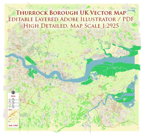
Thurrock is a borough in Essex, England, located on the north bank of the River Thames. The area has a rich history of urban development that spans centuries. Here’s an overview of the key points in the history of urban development in Thurrock:
- Early Settlements: Thurrock has evidence of early human settlement dating back to the Paleolithic era. The fertile land along the River Thames attracted early communities engaged in agriculture and trade.
- Roman Period: During the Roman occupation of Britain, Thurrock was part of the region known as Britannia. The Romans built roads and settlements, leaving their mark on the landscape. There are archaeological remains in the area that testify to Roman presence.
- Medieval Period: Thurrock continued to be primarily rural during the medieval period. Agriculture and fishing were crucial to the local economy. The construction of St. Clement’s Church in West Thurrock dates back to this period.
- Tudor and Stuart Periods: Thurrock’s proximity to London and the River Thames made it strategically important. During the Tudor and Stuart periods, the area became more involved in trade and commerce. Thurrock played a role in shipbuilding, and the local ports were important for the transportation of goods.
- Industrial Revolution: The 19th century brought significant changes to Thurrock with the onset of the Industrial Revolution. Industrial activities such as brickmaking, chemical works, and engineering became prominent. The construction of railways further facilitated the movement of goods and people.
- 20th Century: Thurrock experienced substantial growth and urbanization in the 20th century. The expansion of London led to increased suburban development, and Thurrock became a commuter belt for the capital. The area saw the establishment of new industries, including the development of the oil refinery at Shell Haven.
- New Towns and Development: In the post-war period, the concept of New Towns was introduced to alleviate housing shortages and accommodate population growth. Basildon and Harlow were designated as New Towns nearby, impacting the urban development of Thurrock.
- Port of Tilbury: The Port of Tilbury, established in the late 19th century, became a major shipping and logistics hub in the 20th century. It played a crucial role in the import and export of goods, contributing significantly to Thurrock’s economy and shaping its urban landscape.
- Recent Developments: Thurrock continues to evolve with ongoing urban development projects. The Lakeside Shopping Centre, one of the largest shopping centers in Europe, and the nearby retail and business parks have brought further economic and social changes to the area.
Today, Thurrock is a diverse borough with a mix of residential, industrial, and commercial areas, reflecting its dynamic history of urban development and adaptation to changing economic and social trends.


 Author: Kirill Shrayber, Ph.D.