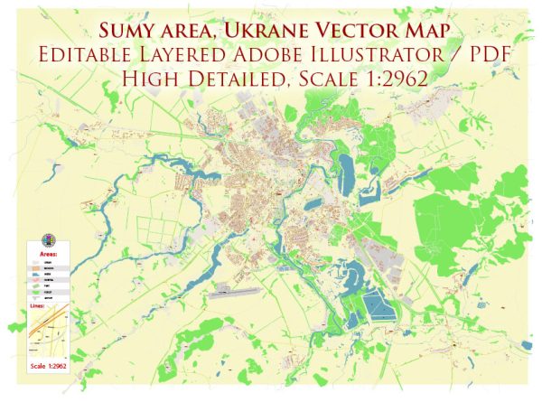
Sumy is a city located in northeastern Ukraine and serves as the administrative center of the Sumy Oblast. Its history dates back to the 17th century when it was founded as a fortress on the banks of the Psel River. Over the centuries, Sumy has evolved into a significant cultural, educational, and industrial center.
17th Century: Foundation and Fortress Sumy was officially founded in 1652 by the Cossack leader Mykola Kostomarov. The town was initially established as a fortress to defend the southern borders of the Russian state against Crimean Tatars and other invaders. Its strategic location along the Psel River contributed to its importance as a defensive outpost.
18th Century: Growth and Development In the 18th century, Sumy experienced significant growth and development. It became a center for trade and commerce due to its proximity to major trade routes. The town also attracted craftsmen and merchants, leading to the establishment of markets and artisan workshops. Sumy’s population expanded, and it gradually transformed into a bustling urban center.
19th Century: Educational and Cultural Hub During the 19th century, Sumy emerged as an important educational and cultural hub. The city saw the establishment of educational institutions, including the Sumy State University, which was founded in 1812. Cultural life flourished with the opening of theaters, libraries, and museums. The cityscape began to showcase architectural styles typical of the time, with neoclassical and eclectic influences.
Soviet Era: Industrialization and Modernization The Soviet era brought industrialization to Sumy. The city’s economy became more diverse, with the development of machinery, food processing, and chemical industries. Modern infrastructure, including residential buildings, schools, and hospitals, was constructed to accommodate the growing population. Sumy’s urban layout was influenced by Soviet urban planning principles, emphasizing functionality and efficiency.
Post-Soviet Period: Transition and Challenges After the dissolution of the Soviet Union in 1991, Sumy, like many other cities in Ukraine, faced economic challenges and a period of transition. The city had to adapt to a new economic and political landscape. Despite these challenges, Sumy has managed to preserve its historical and cultural heritage while embracing aspects of modern urban development.
Contemporary Times: Cultural Heritage and Economic Diversity Today, Sumy continues to be a regional center with a mix of historical charm and modern amenities. Its streets are lined with a blend of architectural styles, including historic buildings, Soviet-era structures, and contemporary developments. The city remains an important educational and cultural center, with a focus on science, technology, and the arts. Sumy’s economy is diverse, encompassing industries such as machinery, electronics, and agriculture.
Sumy’s history of urban development reflects its resilience, adaptability, and the integration of historical and modern elements into its cityscape. The city stands as a testament to Ukraine’s rich cultural and historical tapestry.


 Author: Kirill Shrayber, Ph.D. FRGS