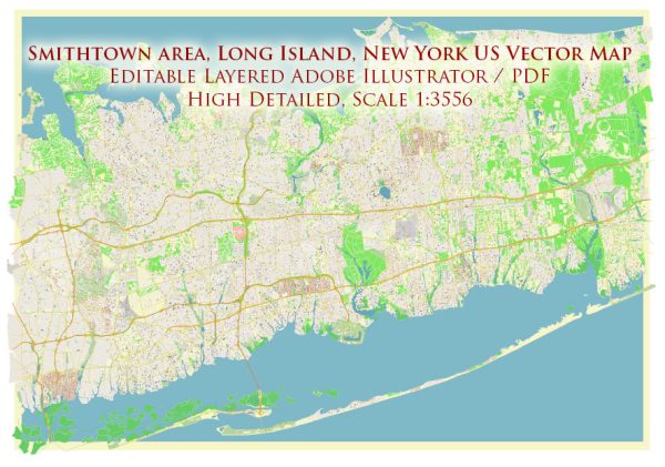
Smithtown is a town located on Long Island, New York, United States. Its history of urban development reflects the broader trends of suburbanization and growth that characterized the region in the 20th century.
- Early Settlement (17th Century): The history of Smithtown begins with its early settlement in the 17th century. Richard Smythe, an Englishman, purchased the land from the Native Americans in 1665. The town’s name, Smithtown, is derived from his last name. The area was primarily agricultural, with farming playing a significant role in the local economy.
- Agricultural Economy (18th and 19th Centuries): Like many other communities on Long Island, Smithtown relied heavily on agriculture during the 18th and 19th centuries. Farms and small villages dotted the landscape, and the town’s growth was relatively slow compared to the urban centers closer to New York City.
- Railroad Expansion (Late 19th Century): The late 19th century brought significant changes with the expansion of the railroad. The Long Island Rail Road (LIRR) reached Smithtown in 1872, connecting the town to New York City. This transportation link facilitated the movement of goods and people, encouraging economic growth and development.
- Suburbanization (20th Century): The mid-20th century marked a period of suburbanization for Smithtown, as it did for many towns on Long Island. Improved transportation infrastructure, including highways, made it easier for residents to commute to jobs in New York City. This accessibility, coupled with the appeal of suburban living, led to a population increase.
- Residential Growth and Infrastructure Development: The post-World War II era saw a boom in residential development. Subdivisions and housing developments replaced farmland, and the population of Smithtown grew steadily. Shopping centers, schools, and other amenities were established to meet the needs of the expanding community.
- Economic Diversification: Over the years, Smithtown has diversified its economy beyond agriculture. The town has become a mix of residential, commercial, and light industrial areas. This diversification has contributed to the town’s economic stability.
- Preservation of Open Space: In recent years, there has been an increased emphasis on preserving open space and maintaining the town’s character. Efforts have been made to balance growth with environmental conservation, ensuring that Smithtown retains its appeal as a suburban community with a mix of residential and natural areas.
- Cultural and Recreational Facilities: Smithtown has also invested in cultural and recreational facilities. Parks, museums, and community centers provide residents with opportunities for leisure and cultural enrichment.
In summary, Smithtown’s history of urban development reflects the broader trends of suburbanization, transportation expansion, and economic diversification that have characterized many communities on Long Island. The town has evolved from its agricultural roots into a suburban community with a mix of residential, commercial, and recreational areas. Efforts to balance growth with environmental conservation highlight the town’s commitment to preserving its unique character.


 Author: Kirill Shrayber, Ph.D. FRGS