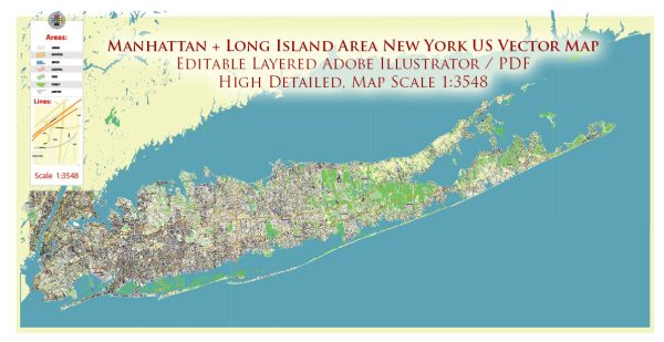
The history of urban development in Long Island, New York, is a complex and dynamic story that reflects the broader patterns of American urbanization. Here is a brief overview:
- Colonial Era (1600s-1700s): Long Island was originally inhabited by Native American tribes such as the Lenape. European settlers, primarily the Dutch and English, arrived in the 17th century. The region’s economy was initially based on agriculture, with small towns and villages emerging along the coastline.
- 19th Century: Industrialization and Urbanization: The 19th century saw the rise of industrialization and increased urbanization. Long Island’s proximity to New York City made it an attractive location for industry and transportation infrastructure. The construction of the Long Island Rail Road in the mid-19th century facilitated the movement of people and goods, contributing to the growth of urban centers.
- Gilded Age and Early 20th Century: The late 19th and early 20th centuries marked a period of economic growth and prosperity. Affluent individuals built grand estates, especially on the North Shore. The Gold Coast, as it came to be known, became a symbol of wealth and opulence.
- Post-World War II Suburbanization: After World War II, there was a significant shift towards suburbanization, a trend that affected many parts of the United States. Long Island experienced a population boom as returning veterans started families, and there was a demand for housing outside of the city. Levittown, one of the first mass-produced suburban communities, was built on Long Island in the late 1940s.
- Infrastructure and Transportation Development: The construction of highways, such as the Long Island Expressway, further facilitated suburban growth. The development of shopping malls, schools, and other amenities supported the suburban lifestyle.
- Economic and Demographic Changes: Long Island continued to evolve economically, with the emergence of technology and research industries. Companies like Grumman Aircraft Engineering Corporation (now Northrop Grumman) played a significant role in the local economy. The demographics of Long Island became more diverse over time, reflecting broader demographic shifts in the United States.
- Challenges and Issues: Urban development on Long Island has also faced challenges, including issues related to land use, environmental conservation, and infrastructure strain. Balancing economic development with preservation efforts has been an ongoing concern.
- Contemporary Urbanization: Today, Long Island is characterized by a mix of suburban and urban areas. Nassau and Suffolk Counties are home to a variety of communities, from densely populated suburbs to more rural areas. The region remains an essential part of the greater New York metropolitan area, with ongoing efforts to balance development with preservation and sustainability.
The history of urban development in Long Island reflects broader trends in American history, from colonial settlement to suburbanization and contemporary urban challenges. It’s a story of economic growth, demographic shifts, and the ongoing effort to create vibrant and sustainable communities.


 Author: Kirill Shrayber, Ph.D. FRGS