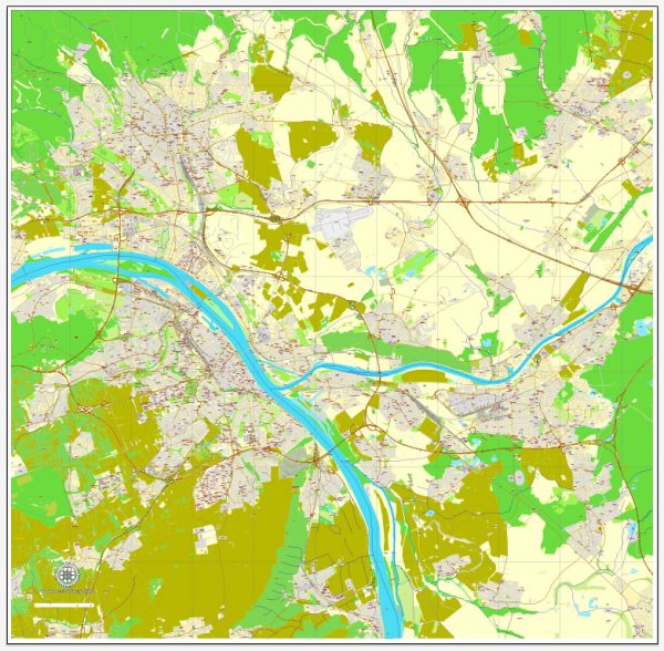
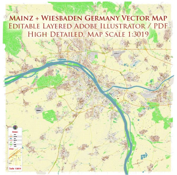
Mainz and Wiesbaden are two neighboring cities in Germany, situated in the state of Hesse. Each city has a rich history of urban development, and I’ll provide a brief overview of both:
Mainz:
Ancient Roots:
- Roman Influence: Mainz, known as Mogontiacum in Roman times, has a history dating back over 2,000 years. It was an important Roman military post and later became the capital of the province of Germania Superior.
Medieval and Renaissance Period:
- Ecclesiastical Center: Mainz gained prominence in the Middle Ages as a significant ecclesiastical center, being the seat of the Archbishop-Elector of Mainz.
- Gutenberg and the Printing Press: Johannes Gutenberg, the inventor of the printing press with movable type, was born in Mainz in the 15th century, making the city a key player in the early days of printing and publishing.
Modern Era:
- Industrialization: The 19th century brought industrialization to Mainz, leading to urban expansion and economic growth.
- World Wars: Mainz, like many German cities, faced destruction during World War II. Post-war reconstruction efforts transformed the cityscape.
Wiesbaden:
Roman Origins:
- Aquae Mattiacorum: Wiesbaden’s history dates back to Roman times when it was known as Aquae Mattiacorum. The Romans were drawn to the area by its hot springs.
Medieval and Renaissance Period:
- Medieval Growth: Wiesbaden developed as a medieval town, and the hot springs continued to attract visitors seeking the therapeutic benefits of the waters.
- Napoleonic Era: Wiesbaden became part of the Duchy of Nassau in the early 19th century under the rule of Duke Wilhelm.
Modern Era:
- Spa Town: Wiesbaden gained fame in the 19th century as a spa town, and luxurious bathhouses were constructed to accommodate visitors seeking the health benefits of the thermal springs.
- Cultural Hub: The city became a cultural hub, with the construction of theaters, museums, and elegant villas.
- World Wars: Wiesbaden, like Mainz, suffered damage during World War II, leading to post-war reconstruction.
Post-War Period:
- Reconstruction: Both Mainz and Wiesbaden underwent significant reconstruction efforts in the post-war period, leading to the modern urban landscape we see today.
Today, both cities blend a mix of historical architecture with modern developments, offering residents and visitors a glimpse into their diverse and vibrant pasts.


 Author: Kirill Shrayber, Ph.D. FRGS