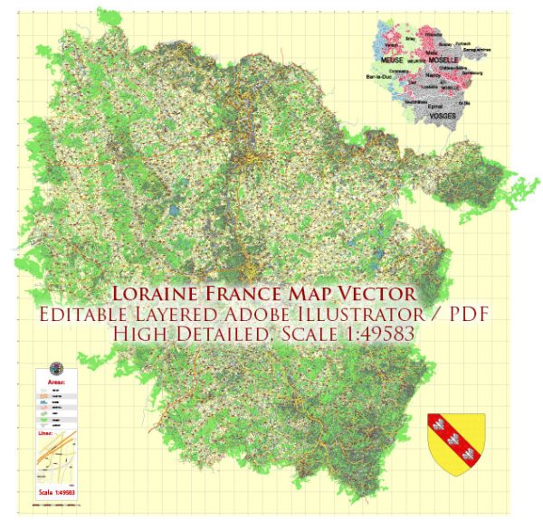
Lorraine is a region located in northeastern France, known for its rich history and diverse cultural heritage. The history of urban development in Lorraine is shaped by various historical events, including its strategic location, changing political boundaries, and economic activities. Here is a brief overview of the history of urban development in Lorraine:
- Roman Period: Lorraine has a history dating back to Roman times when it was part of the Roman province of Gallia Belgica. Roman towns and roads were established, contributing to the early urbanization of the region. Metz, one of the major cities in Lorraine, has Roman origins and served as an important center during this period.
- Medieval Period: During the medieval period, Lorraine experienced significant political and cultural changes. It was part of the Holy Roman Empire, and various duchies and principalities emerged. The development of towns continued, with the construction of cathedrals, castles, and fortifications. Nancy, another major city in Lorraine, became a ducal capital and a center of Renaissance art and architecture.
- Duchy of Lorraine: The Duchy of Lorraine played a crucial role in the region’s history. The dukes of Lorraine contributed to the architectural and cultural development of cities such as Nancy and Metz. The Place Stanislas in Nancy, a UNESCO World Heritage site, is a remarkable example of 18th-century urban planning and design.
- French Annexation: Lorraine experienced a series of territorial changes, including periods of French and German annexation. The region was annexed by France in the 17th century under Louis XIV but later became part of the German Empire after the Franco-Prussian War in 1871. The urban landscape of cities like Metz reflected the architectural styles of both French and German influences.
- World Wars: Lorraine, being near the border with Germany, was heavily affected by both World Wars. The region saw significant destruction during the wars, and the post-war period involved reconstruction and redevelopment efforts. The urban planning of cities like Metz and Nancy was influenced by the need for reconstruction and modernization.
- Post-WWII Era: In the post-World War II era, Lorraine played a role in the economic recovery of France, particularly through its steel and coal industries. The growth of industrialization influenced urbanization patterns, with the development of new residential areas and infrastructure.
- Contemporary Period: In recent decades, Lorraine has undergone further urban development, with a focus on revitalizing city centers, preserving historical landmarks, and promoting sustainable urban planning. Cities like Metz and Nancy continue to blend their historical heritage with modern architecture and amenities.
Overall, the history of urban development in Lorraine reflects the region’s dynamic past, marked by cultural, political, and economic changes that have shaped its cities and towns over the centuries.


 Author: Kirill Shrayber, Ph.D.