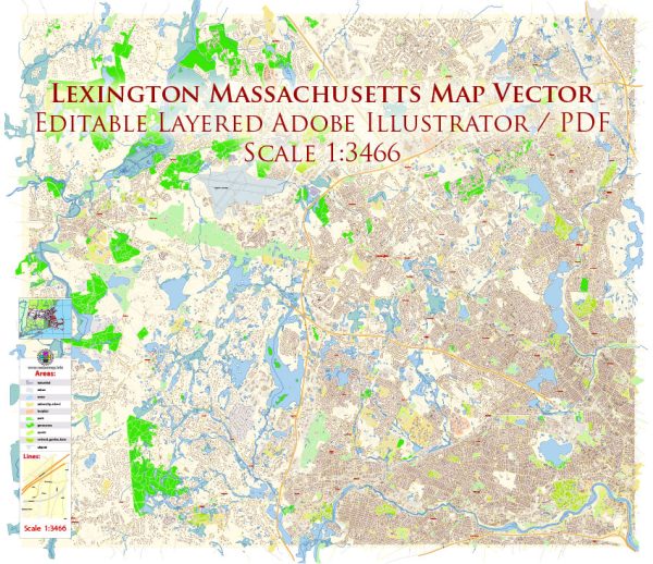
Lexington, Massachusetts, is a historic town located in Middlesex County, about 11 miles northwest of Boston. Its history is deeply rooted in the early days of American settlement and the events leading up to the American Revolution. While Lexington is primarily known for the Battle of Lexington, which occurred on April 19, 1775, there is a broader history of urban development in the town.
- Early Settlement (17th Century): Lexington was first settled in 1642 as part of Cambridge, Massachusetts. It was officially incorporated as a separate town in 1713. Early settlers engaged in agriculture, and the town gradually developed a village center.
- Battle of Lexington (1775): The Battle of Lexington, often regarded as the first battle of the American Revolution, took place on Lexington Green on April 19, 1775. British troops clashed with local minutemen, resulting in several casualties. This event is a significant part of Lexington’s history and has contributed to its reputation as the “birthplace of American liberty.”
- Post-Revolutionary Period: After the American Revolution, Lexington experienced slow but steady growth. Agriculture remained a crucial part of the economy, but there was also a shift towards industry and commerce.
- 19th Century Development: In the 19th century, Lexington saw the development of its infrastructure, including roads and schools. The town continued to grow economically, and the population increased. The historic Lexington Battle Green became a central focal point, surrounded by civic and religious buildings.
- 20th Century and Suburbanization: Like many communities around Boston, Lexington experienced suburbanization in the 20th century. Improved transportation, such as the expansion of highways, contributed to the growth of the town. The population increased, and residential areas expanded. However, there was also an effort to preserve the town’s historic character.
- Preservation Efforts: Lexington has made significant efforts to preserve its historical and cultural heritage. Many historic buildings have been protected, and there are strict zoning regulations aimed at maintaining the town’s New England character. This includes the preservation of historic districts and landmarks.
- Economic Development: Lexington has a diverse economy, including a mix of residential, commercial, and industrial areas. The town is home to high-tech industries and has a well-regarded school system. The presence of companies and research institutions has contributed to economic vitality.
- Community and Cultural Life: Lexington values its community and cultural heritage. The town hosts various events and festivals throughout the year, often centered around its historical significance. The town’s commitment to education and cultural enrichment is evident in its support for local arts and community organizations.
In summary, Lexington, Massachusetts, has a rich history that encompasses its role in the American Revolution, its evolution from a colonial settlement to a modern suburban town, and its ongoing efforts to balance growth with the preservation of its historical character.


 Author: Kirill Shrayber, Ph.D. FRGS