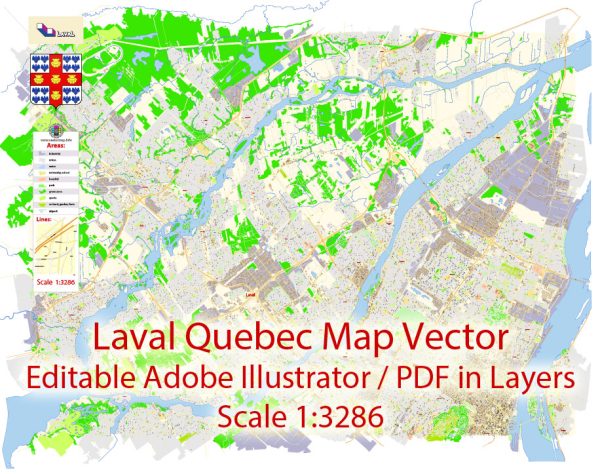
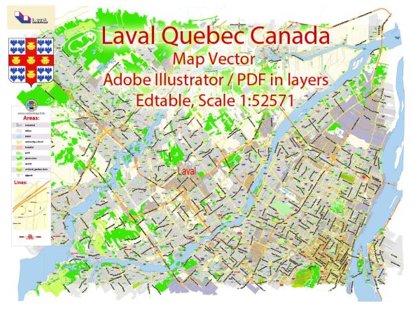
Laval, located in the province of Quebec, Canada, has a rich history of urban development that spans several centuries. Here’s an overview of key points in the history of Laval’s urban development:
- Indigenous Peoples: Before European colonization, the region now known as Laval was inhabited by Indigenous peoples, including the Huron-Wendat and the Iroquois. These First Nations played a crucial role in the early history of the area.
- Colonial Era: European settlers, primarily French, began to establish themselves in the region during the 17th century. The fur trade was a significant economic activity, and the Saint Lawrence River served as a vital transportation route. The land that is now Laval was part of the seigneurial system, where large estates were granted by the French Crown.
- Agricultural and Rural Period: Throughout the 18th and 19th centuries, Laval remained primarily rural and agricultural. The economy was centered around farming, with communities forming around churches and local industries.
- Urbanization and Industrialization: The 20th century brought significant changes to Laval. With the expansion of Montreal, Laval experienced urbanization and industrialization. Improved transportation infrastructure, including bridges connecting Laval to Montreal, facilitated growth. The availability of land attracted industries and residential development.
- Post-World War II Boom: After World War II, Laval experienced a population boom and increased suburbanization. The baby boom, economic growth, and improved transportation options contributed to the expansion of residential areas. The completion of major highways further connected Laval to Montreal and other parts of Quebec.
- Municipal Mergers: In 1965, the Quebec government initiated a series of municipal mergers to streamline local administration. In 1965, Laval-sur-le-Lac, Sainte-Dorothée, Chomedey, and others were amalgamated to form the city of Laval. This consolidation aimed to improve efficiency and service delivery.
- Economic Diversification: Over the years, Laval has diversified its economy beyond agriculture and traditional industries. Today, it is home to a mix of residential, commercial, and industrial areas. Technoparc Montreal, a science and technology park, has attracted businesses in various sectors.
- Contemporary Urban Development: Laval continues to experience ongoing urban development, with a focus on sustainability and quality of life. Efforts have been made to enhance public spaces, create recreational areas, and improve transportation infrastructure. The city has also invested in cultural amenities, education, and healthcare facilities.
- Cultural and Recreational Infrastructure: Laval has developed cultural and recreational facilities, including museums, parks, and entertainment venues. These additions contribute to the city’s overall quality of life and make it an attractive place to live and work.
Laval’s history of urban development reflects the broader trends of suburbanization, industrialization, and economic diversification seen in many North American cities. The city continues to evolve, responding to the changing needs and demands of its residents while preserving aspects of its historical and cultural heritage.


 Author: Kirill Shrayber, Ph.D. FRGS