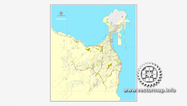
Las Palmas, located on the island of Gran Canaria in the Canary Islands, Spain, has a rich history of urban development that spans centuries. Here is a brief overview:
- Ancient Origins:
- The origins of Las Palmas can be traced back to the indigenous Guanche people who inhabited the Canary Islands before the arrival of the Spanish.
- The city’s bay served as a stopping point for ships traveling between Europe and the Americas.
- Spanish Conquest:
- In 1478, the Spanish Crown began the conquest of the Canary Islands, and Gran Canaria was the last of the main islands to be incorporated into the Crown of Castile.
- The city of Las Palmas was officially founded on June 24, 1478, by Juan Rejón, a captain in the service of the Castilian Crown.
- Colonial Period:
- As a result of its strategic location, Las Palmas became a vital port for ships heading to the New World, and it experienced economic growth during the colonial era.
- The historic district of Vegueta, with its narrow streets and colonial architecture, reflects the city’s past as a center of trade and commerce.
- 17th to 19th Centuries:
- Las Palmas continued to thrive during the 17th to 19th centuries, with the city evolving as a hub for maritime trade and commerce.
- The construction of La Catedral de Santa Ana, which began in the early 16th century, is a notable architectural landmark from this period.
- 20th Century:
- The 20th century brought significant changes to Las Palmas, with the city expanding beyond its historic core.
- The development of new neighborhoods and infrastructure projects contributed to the city’s modernization.
- Tourism and Growth:
- Las Palmas experienced a surge in tourism in the latter half of the 20th century, contributing to the city’s economic development.
- The construction of modern hotels, resorts, and amenities transformed parts of the city to cater to the growing tourism industry.
- Contemporary Development:
- In recent decades, Las Palmas has continued to evolve as a modern city, with ongoing urban development projects, infrastructure improvements, and a focus on sustainability.
- The city’s diverse architecture, ranging from historic structures in Vegueta to contemporary buildings in other parts, reflects its dynamic history and development.
- Cultural and Economic Hub:
- Today, Las Palmas is not only a major port and economic center but also a cultural hub with museums, theaters, and events that celebrate its rich history and diverse heritage.
Las Palmas’ urban development is a testament to its historical significance as a maritime crossroads and its ability to adapt and thrive through the centuries. The combination of historic charm and modern amenities makes it a unique destination in the Canary Islands.


 Author: Kirill Shrayber, Ph.D. FRGS