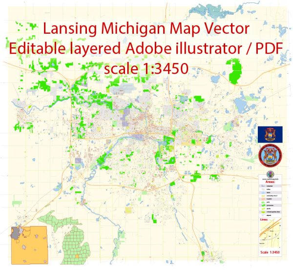
Lansing, the capital city of Michigan, has a rich history of urban development that reflects the broader trends in the state and the nation. Here is an overview of the key historical phases in Lansing’s urban development:
- Early Settlement (1830s-1847):
- The area that would become Lansing was initially settled in the 1830s by pioneers, and it was primarily a collection of log cabins and small farms.
- The town’s strategic location along the Grand River played a crucial role in its early development.
- Selection as the Capital (1847):
- In 1847, Lansing was chosen as the capital of Michigan, leading to increased attention and investment in the city’s infrastructure.
- This decision significantly influenced the city’s growth and urban planning.
- Industrialization and Growth (Late 19th Century):
- The late 19th century saw industrialization taking root in Lansing. The completion of the railway and the construction of the Capitol building spurred economic development.
- Manufacturing, particularly in the automotive and agricultural sectors, became central to Lansing’s economy.
- Automotive Era (20th Century):
- The early 20th century marked the beginning of Lansing’s association with the automotive industry. The Olds Motor Vehicle Company, later known as Oldsmobile, was founded in Lansing in 1897.
- The city continued to grow as the automobile industry flourished, attracting workers and leading to the development of residential neighborhoods.
- Post-World War II Suburbanization (1940s-1960s):
- Like many other American cities, Lansing experienced suburbanization in the post-World War II era. This was characterized by the development of suburban residential areas and the expansion of transportation infrastructure.
- Suburbanization influenced the city’s demographics and led to the decline of some inner-city neighborhoods.
- Urban Renewal (1960s-1970s):
- In the mid-20th century, Lansing, like many other cities, underwent urban renewal projects aimed at revitalizing downtown areas.
- Some historic structures were demolished, and new developments, including government buildings and commercial spaces, were constructed.
- Economic Challenges (Late 20th Century):
- In the latter half of the 20th century, Lansing faced economic challenges, particularly with the decline of the automotive industry. This had significant implications for the city’s economy and urban landscape.
- Recent Development (Late 20th Century-Present):
- In recent decades, Lansing has worked to diversify its economy, with a focus on education, healthcare, and government services.
- Redevelopment projects in the downtown area, including the restoration of historic buildings, have aimed at revitalizing the urban core.
- Cultural and Educational Hub:
- Lansing has become a cultural and educational hub, with institutions like Michigan State University contributing to the city’s vibrancy and diversity.
Throughout its history, Lansing has undergone various transformations, reflecting broader economic trends and societal changes. Today, it stands as a dynamic city with a mix of historical and modern elements in its urban landscape.


 Author: Kirill Shrayber, Ph.D. FRGS