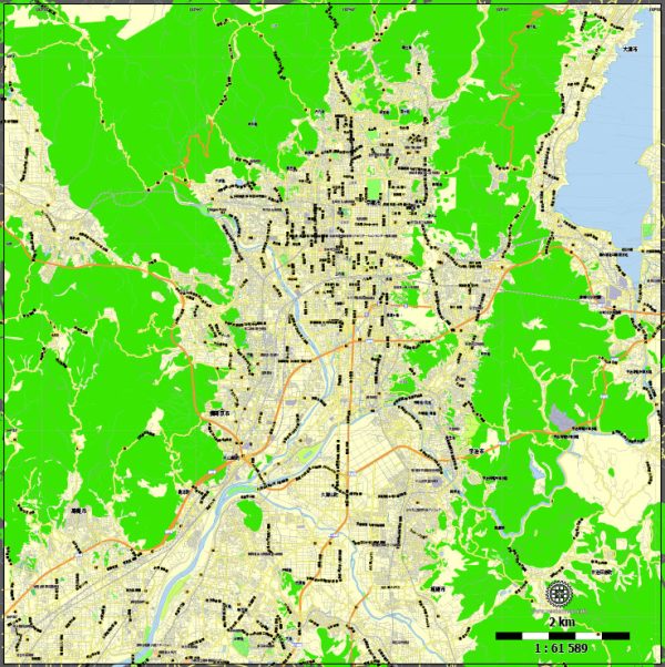
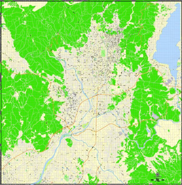
Kyoto, the former imperial capital of Japan, has a rich history of urban development that spans over a millennium. Here’s a brief overview of the key historical periods and aspects of Kyoto’s urban development:
- Heian Period (794-1185): Kyoto was established as the capital of Japan in 794 by Emperor Kammu. During the Heian period, the city was meticulously planned with a grid layout that included the imperial palace at the center. The city became the cultural and political center of Japan during this time, with the aristocracy playing a significant role in shaping its character.
- Medieval Period (1185-1603): Kyoto continued to be the imperial capital, but political power shifted to Kamakura and later to Edo (modern-day Tokyo) during the Kamakura and Muromachi periods. Despite these shifts, Kyoto remained a cultural and religious center with the construction of numerous temples and shrines. The cityscape included traditional wooden machiya (townhouses) and narrow streets.
- Azuchi-Momoyama Period (1568-1603): Kyoto experienced a period of renewed prosperity during the Azuchi-Momoyama period, marked by the construction of extravagant castles and the unification of Japan under Oda Nobunaga and later Toyotomi Hideyoshi. The cityscape saw the addition of grandiose structures like Nijo Castle.
- Edo Period (1603-1868): The Tokugawa shogunate established its capital in Edo, and Kyoto’s political significance diminished. However, Kyoto continued to thrive culturally and economically. The Edo period brought about changes in urban planning, with the development of merchant districts and the expansion of the city beyond its original grid layout.
- Meiji Period (1868-1912): With the Meiji Restoration in 1868, Japan underwent rapid modernization, and Kyoto was no exception. The city saw the introduction of Western architectural influences, the construction of railways, and the modernization of infrastructure.
- Taisho and Showa Periods (1912-1989): Kyoto continued to modernize during the early 20th century. However, efforts were made to preserve its cultural heritage, leading to the establishment of preservation districts for important historic sites. Kyoto was spared from extensive bombing during World War II, contributing to the preservation of its historic structures.
- Contemporary Period (1989-present): In recent decades, Kyoto has faced the challenges of balancing modern development with the preservation of its cultural heritage. Efforts have been made to promote sustainable tourism and maintain the traditional appearance of the city. Kyoto remains a UNESCO World Heritage Site, with its historic temples, shrines, and traditional machiya contributing to its unique urban character.
Throughout its history, Kyoto has evolved while retaining its cultural and historical identity, making it a fascinating example of the intersection of tradition and modernity in urban development.


 Author: Kirill Shrayber, Ph.D. FRGS