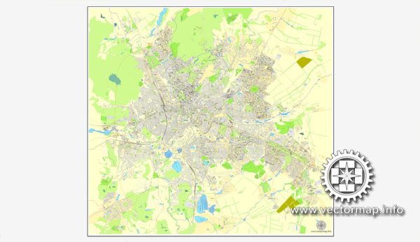
Kharkiv, the second-largest city in Ukraine, has a rich history of urban development that spans several centuries. Here is an overview of the key historical periods and events in Kharkiv’s urban development:
- Foundation and Early History:
- Kharkiv was founded in 1654 as a military fortress to protect the southern borders of the Russian Empire from Crimean Tatar invasions.
- The city’s strategic location at the crossroads of important trade routes contributed to its growth.
- Imperial Russia Period (18th-19th centuries):
- In the 18th century, Kharkiv became the administrative center of the Sloboda Ukraine region and a major cultural and educational hub.
- The establishment of Kharkiv University in 1804 marked an important milestone, contributing to the city’s intellectual and cultural development.
- Industrialization and Growth (Late 19th – Early 20th centuries):
- The late 19th and early 20th centuries saw significant industrial development in Kharkiv, with the establishment of factories and enterprises.
- The city’s population grew, and its skyline transformed with the construction of industrial and residential buildings.
- Soviet Era (20th century):
- Kharkiv played a crucial role in the Russian Civil War and briefly served as the capital of the Ukrainian Soviet Socialist Republic in the early 1920s.
- The Soviet period saw further industrialization and urbanization, with the development of new residential areas, public infrastructure, and cultural institutions.
- World War II:
- Kharkiv suffered heavily during World War II, as it was occupied by Nazi forces. The city was almost completely destroyed, and the post-war reconstruction efforts were substantial.
- Post-Soviet Period (Late 20th century – Present):
- Following the collapse of the Soviet Union, Kharkiv became part of an independent Ukraine in 1991.
- The city continued to modernize and develop, with a focus on infrastructure, commerce, and cultural amenities.
- Cultural and Architectural Heritage:
- Kharkiv boasts a diverse architectural landscape, including historic buildings from various periods, such as the Dormition Cathedral, the Derzhprom building, and the Mirror Stream fountain.
- The city is known for its green spaces, parks, and boulevards, contributing to its aesthetic appeal.
- Challenges and Resilience:
- Kharkiv faced challenges, including economic fluctuations and political uncertainties. Despite these challenges, the city has demonstrated resilience and a determination to thrive.
In summary, Kharkiv’s history of urban development reflects its evolution from a military fortress to a major industrial and cultural center. The city’s architecture, institutions, and urban layout tell a story of growth, resilience, and adaptation to changing historical circumstances.


 Author: Kirill Shrayber, Ph.D. FRGS