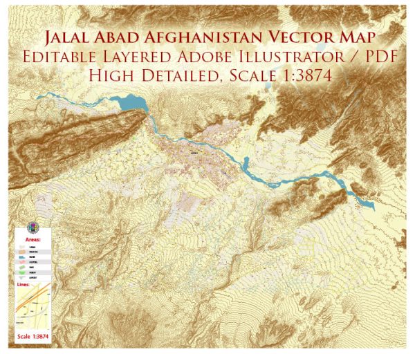
Jalalabad is a city in eastern Afghanistan and the capital of Nangarhar Province. It has a rich history that spans centuries, with influences from various cultures and civilizations.
Historical Overview:
- Ancient Roots: Jalalabad has ancient roots, with evidence suggesting human habitation in the region dating back to at least the 3rd century BC. The city has been a crossroads for various civilizations, including Greek, Mauryan, Kushan, and Gupta.
- Islamic Period: With the advent of Islam in the region in the 7th century, Jalalabad became part of the Islamic caliphates. It played a role in the spread of Islam through the Indian subcontinent.
- British Influence: During the 19th century, Jalalabad gained strategic importance during the British Empire’s conflicts in the region, particularly during the Anglo-Afghan Wars. The city was a key location in the Great Game, the geopolitical rivalry between the British and Russian Empires.
Urban Development:
- Architectural Heritage: The city likely features a mix of architectural styles influenced by its diverse history. There might be remnants of ancient structures, Islamic architecture, and possibly colonial-era buildings from the British period.
- Infrastructure: Urban development in Jalalabad, like many Afghan cities, faced challenges due to political instability, conflict, and economic struggles. Infrastructure development may have been uneven, with periods of growth and decline.
- Cultural Influences: The city’s urban development likely reflects a blend of Afghan and Islamic culture, with influences from neighboring regions. Traditional bazaars, mosques, and other cultural landmarks might be integral to the urban fabric.
- Modern Challenges: Like many cities in Afghanistan, Jalalabad faced challenges related to the aftermath of conflict, including issues of reconstruction, basic service provision, and economic development.


 Author: Kirill Shrayber, Ph.D. FRGS