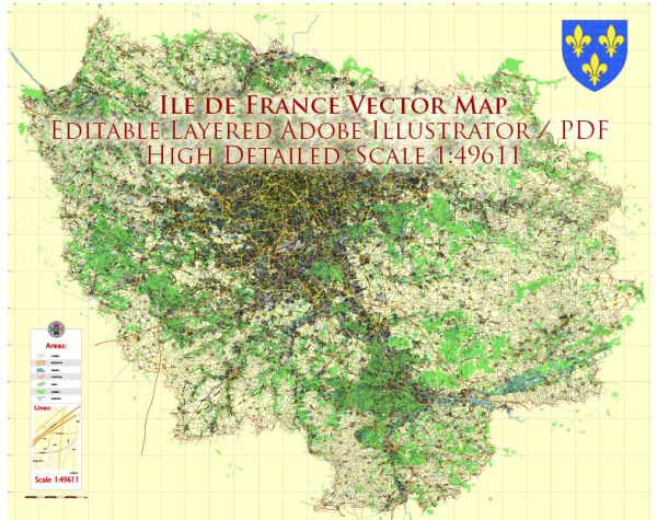
The Île-de-France region, centered around Paris, has a rich history of urban development that spans centuries. Here is a brief overview of the key historical phases:
- Roman Period (1st century BC – 5th century AD):
- Paris, known as Lutetia, was a Roman settlement on the banks of the Seine River.
- Roman urban planning included a grid layout, with streets organized in a perpendicular pattern.
- Medieval Period (5th century – 15th century):
- The medieval period saw the expansion and fortification of Paris.
- The construction of Notre-Dame Cathedral began in the 12th century, showcasing the Gothic architectural style.
- The city’s population grew, and it became a significant political and economic center.
- Renaissance and Early Modern Period (16th century – 18th century):
- Renaissance influences led to the construction of elegant buildings and bridges.
- The Louvre Palace was expanded during this period, becoming a royal residence.
- King Louis XIV centralized power in Paris, leading to the development of grand boulevards and the transformation of the Louvre into a public art gallery.
- Haussmannization (mid-19th century):
- Baron Haussmann, under Napoleon III, initiated a massive urban renewal project in the mid-19th century.
- Wide boulevards were constructed, slums were cleared, and green spaces like the Bois de Boulogne were created.
- This period significantly transformed the city’s appearance and improved sanitation and transportation.
- Industrialization (19th century):
- Industrialization brought about demographic changes, leading to the growth of suburbs and the expansion of transportation networks, including the introduction of railways.
- 20th Century:
- Paris faced challenges during both World Wars, and reconstruction efforts were undertaken.
- Modernist architecture made its mark with buildings like the Centre Pompidou in the late 20th century.
- Contemporary Period:
- Ongoing urban development projects focus on sustainability, transportation infrastructure, and the preservation of historical landmarks.
- The Greater Paris project aims to integrate the city and its suburbs more effectively, with the extension of transportation networks and the development of new business districts.
Throughout its history, Île-de-France’s urban development has been shaped by a combination of political, economic, and cultural factors, resulting in the vibrant and diverse region that exists today.


 Author: Kirill Shrayber, Ph.D.