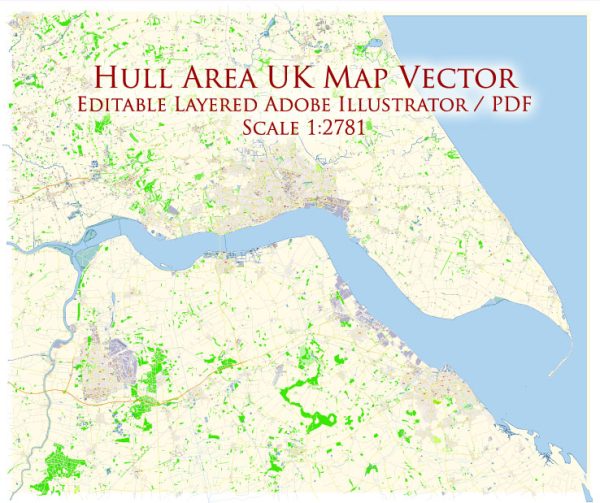
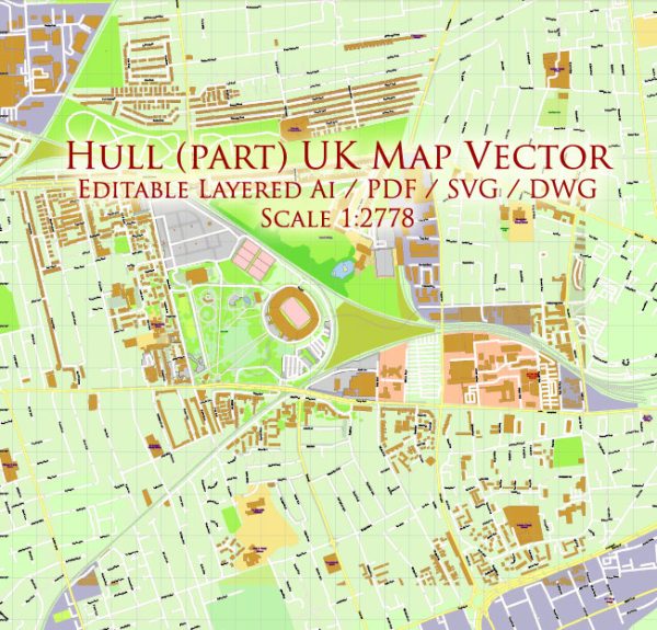
Hull, officially known as Kingston upon Hull, is a city in the East Riding of Yorkshire, England. Its history of urban development is rich and diverse, shaped by its strategic location along the River Hull and the Humber Estuary. Here’s a brief overview of the history of urban development in Hull:
- Medieval Origins (Late 12th Century): The city’s history dates back to the late 12th century when it was founded by monks from Meaux Abbey as a port for exporting wool. Its strategic location on the River Hull facilitated trade and commerce.
- Town Status and Defensive Structures (Late 13th Century): In the late 13th century, Hull was granted town status and saw the construction of defensive structures, including city walls and gates. These structures were essential for protecting the town from potential invasions.
- Maritime and Trading Hub (16th – 18th Centuries): Hull became a significant maritime and trading hub during the Renaissance and the following centuries. The city played a crucial role in the wool trade and later became a key port for the transportation of goods, including timber, cloth, and foodstuffs. The prosperity of the town was reflected in the growth of its architecture, with merchant houses and warehouses being built along the riverfront.
- Civil War (17th Century): During the English Civil War (1642-1651), Hull played a strategic role. It initially declared for Parliament, and its strong fortifications were a key asset. The town suffered some damage during the conflict.
- Industrial Revolution (18th – 19th Centuries): The Industrial Revolution brought significant changes to Hull. The town’s economy diversified with the growth of industries such as shipbuilding, engineering, and food processing. The population increased, leading to the expansion of the urban area. The construction of docks and the development of rail connections further facilitated trade and transportation.
- Victorian Expansion and Architecture: The Victorian era saw further expansion and modernization of Hull. Grand civic buildings, commercial structures, and housing developments were constructed. The city’s architecture reflects the prosperity and confidence of the time.
- 20th Century Challenges: Like many industrial cities, Hull faced challenges in the 20th century. The city suffered damage during World War II bombings, leading to post-war reconstruction. The decline of traditional industries in the later part of the century impacted the local economy.
- Regeneration and Renewal (Late 20th Century – Present): In recent decades, Hull has undergone regeneration efforts to revitalize its economy and urban areas. The city was named the UK City of Culture in 2017, leading to significant cultural and infrastructure developments. Projects such as the redevelopment of the Hull Marina and the opening of cultural venues have contributed to the city’s renewal.
Hull’s history of urban development is a story of resilience, adaptation, and transformation, reflecting its evolving role as a key port and trading center in England.


 Author: Kirill Shrayber, Ph.D. FRGS