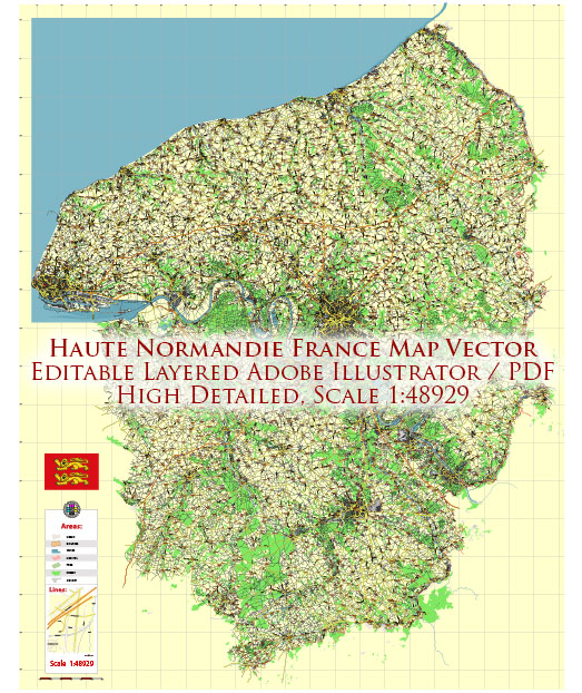
Haute-Normandie was a region in northern France that existed until 2015 when it was merged with the region of Basse-Normandie to form the new administrative region of Normandy. The historical development of urban areas in Haute-Normandie can be traced back over several centuries, and the region has been witness to significant events in French history.
- Rouen: The Historic Capital:
- Early History: Rouen, the historic capital of Normandy and the largest city in Haute-Normandie, has a rich history dating back to Roman times. It was an important city during the medieval period and served as the capital of the Duchy of Normandy.
- Medieval Architecture: The city boasts a wealth of medieval architecture, including the stunning Rouen Cathedral and the Gros Horloge, a beautiful astronomical clock.
- Industrial Revolution Impact: Rouen played a crucial role during the Industrial Revolution, witnessing urban expansion and the development of industries.
- Le Havre: Maritime Importance:
- Foundation and Reconstruction: Le Havre, a major port city in Haute-Normandie, was heavily bombed during World War II, leading to significant destruction. After the war, the city underwent extensive reconstruction under the direction of the architect Auguste Perret. The reconstruction project is now a UNESCO World Heritage site, showcasing modernist urban planning principles.
- Maritime Heritage: Le Havre’s history is closely tied to its maritime activities, serving as a crucial gateway for trade and commerce.
- Évreux and Other Urban Centers:
- Évreux: Another important city in Haute-Normandie, Évreux, has a history dating back to Roman times. It features a mix of historic architecture, including the Évreux Cathedral.
- Small Towns and Villages: Beyond the major cities, Haute-Normandie has numerous charming small towns and villages that have preserved their traditional architecture and cultural heritage.
- Transportation Infrastructure:
- River Seine: The River Seine runs through Haute-Normandie, connecting the region to Paris and facilitating trade and transportation.
- Railways and Highways: The region’s urban development is also influenced by its transportation infrastructure, including railways and highways that connect it to other parts of France.
- Cultural and Artistic Heritage:
- Literary and Artistic Connections: Haute-Normandie has been a source of inspiration for many artists and writers. The picturesque landscapes and historic architecture have found their way into literature and art.
The history of urban development in Haute-Normandie reflects its strategic location, economic activities, and contributions to French cultural heritage. The merger with Basse-Normandie in 2015 aimed to streamline administrative functions and enhance regional development synergies.


 Author: Kirill Shrayber, Ph.D. FRGS