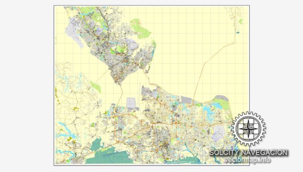
Hampton Roads, located in southeastern Virginia, is a region known for its significant maritime industry and transportation infrastructure. The area encompasses several cities, including Norfolk, Virginia Beach, Newport News, Hampton, Portsmouth, and Chesapeake. Here’s a description of the maritime industry and transportation in Hampton Roads:
1. Port of Virginia:
- The Port of Virginia is a major economic driver in the region and one of the largest on the East Coast. It includes terminals in Norfolk, Portsmouth, and Newport News.
- Norfolk International Terminals (NIT) is a key container terminal, handling a substantial portion of the region’s import and export cargo.
- The Virginia Port Authority has invested in infrastructure improvements, making the Port of Virginia more competitive and capable of handling larger vessels.
2. Naval Presence:
- Hampton Roads is home to the largest naval base in the world, Naval Station Norfolk. The presence of the U.S. Navy has a significant impact on the region’s maritime activities.
- The naval facilities support the maintenance, repair, and resupply of a large portion of the U.S. Atlantic Fleet.
3. Shipbuilding and Repair:
- Newport News Shipbuilding, a division of Huntington Ingalls Industries, is a major shipbuilding facility with a focus on nuclear-powered vessels, including aircraft carriers and submarines.
- The region has a strong tradition of ship repair and maintenance, with numerous shipyards providing services to both military and commercial vessels.
4. Maritime Logistics:
- Hampton Roads serves as a crucial logistics hub due to its strategic location along the Atlantic Coast. It has excellent rail and road connections, facilitating the movement of goods to and from the port.
- The region’s transportation infrastructure is supported by major highways, including I-64, I-264, and I-664, as well as rail connections.
5. Maritime Education and Research:
- Hampton Roads is home to educational institutions and research centers focused on maritime studies and technology. Old Dominion University, for example, has programs and research initiatives related to maritime commerce, engineering, and technology.
6. Coastal Environment:
- The region’s coastal environment plays a vital role in its maritime industry. The intricate network of waterways, including the Chesapeake Bay, provides natural channels for maritime transportation.
- Environmental sustainability and stewardship are important considerations for the maritime industry in Hampton Roads.
7. Tourism and Recreation:
- The maritime industry contributes to tourism and recreation in the area. Waterfront attractions, historic sites, and recreational activities along the beaches and waterways are popular among residents and visitors.
In summary, Hampton Roads is a dynamic hub for maritime activities, encompassing a thriving port, naval operations, shipbuilding, logistics, education, and research. The region’s strategic location and robust infrastructure make it a key player in the maritime industry on the East Coast of the United States.


 Author: Kirill Shrayber, Ph.D. FRGS